Utah map, cut to the state line
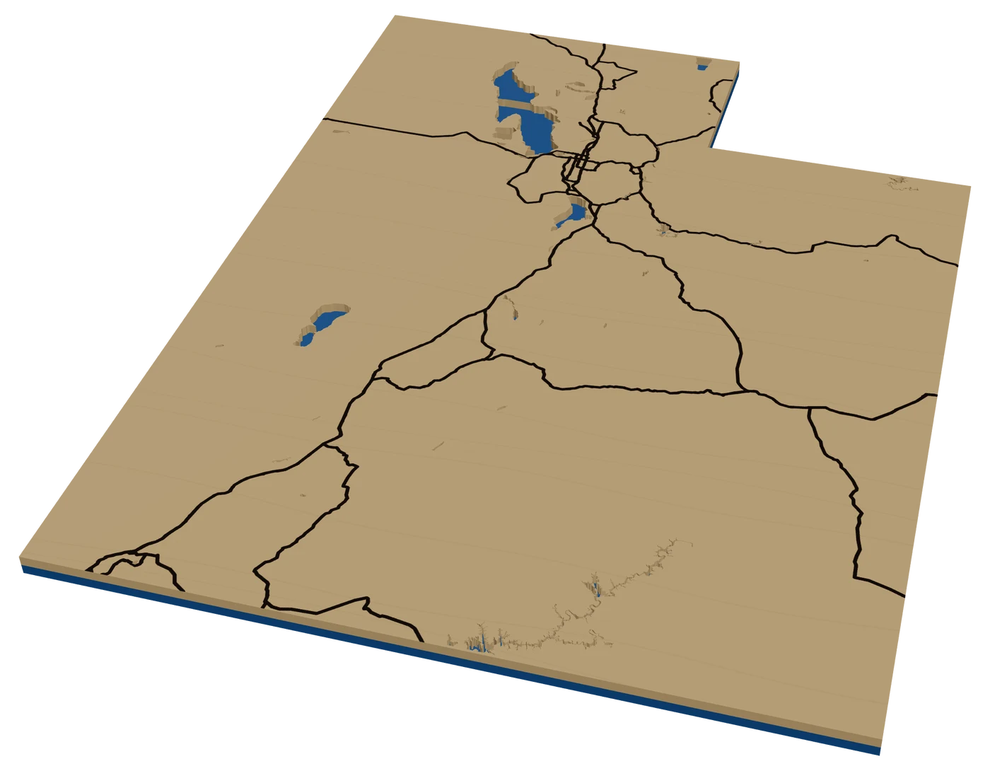
Utah is red rock in the south and big mountains in the north, and both are made for elevation layers. A laser cut Utah map can be Zion in stacked terrain, a Park City street grid, or a state ornament with a heart on home.
7 days free, then $12 a month. Cancel anytime. Or 10 maps for $10.
Places in Utah people ask for
What sells in Utah
Terrain, first and last. Utah's national parks, Zion, Bryce, Arches, Canyonlands and Capitol Reef, are made for a topographic map. Use more levels than usual: canyon walls need them. Hikers want their route engraved on top. Import the GPX from Angels Landing or The Narrows.
In the north, it is skiing. Park City, Alta, Snowbird, Deer Valley and Snowbasin all have pass holders and second-home owners. A Park City Main Street map or a terrain piece of the resort sells every winter.
Salt Lake City has a famously wide, regular grid that engraves cleanly, and the Wasatch rising behind it is the perfect backdrop. Utah also has a lot of young families, so first-home maps sell steadily. BYU, Utah and Utah State each have loyal alumni.
Lake Powell is the houseboat market. Families go back to the same canyons, and the lake's twisting side canyons make an incredible cut layer. Bear Lake in the north is the summer cabin lake. Both cross a state line, Powell into Arizona and Bear Lake into Idaho, so a circle or rectangle frame works better than the state outline.
Making a laser cut Utah ornament
Utah's outline is a rectangle with a bite out of the northeast corner where Wyoming cuts in. It reads instantly and fills a 4 in square well. Inside, use I-15 down the Wasatch Front from Logan through Salt Lake City to St. George, I-80 and I-70, and the Great Salt Lake as a cut-out water piece. The lake is the single best detail on a Utah ornament.
For a terrain version, two or three elevation levels show the Wasatch and Uinta mountains in the north and the plateaus in the south.
A red-orange backer behind light wood looks like the southern parks. A navy backer reads as BYU, red as Utah.
Keep the frame band thin around the northeast notch so the corner stays crisp.
Questions makers ask
Does the Great Salt Lake show on a Utah ornament?
Yes. It is big enough at 4 in to cut as its own water piece, and it is the detail people look for first.
Can I make a Zion terrain map with my hike?
Yes. Frame the canyon, turn on elevation with plenty of levels, and import your hike as a GPX line to engrave on top.
What color backer looks best on a Utah ornament?
Red rock colors, like terracotta or rust, behind light wood. School colors work too.
Keep going
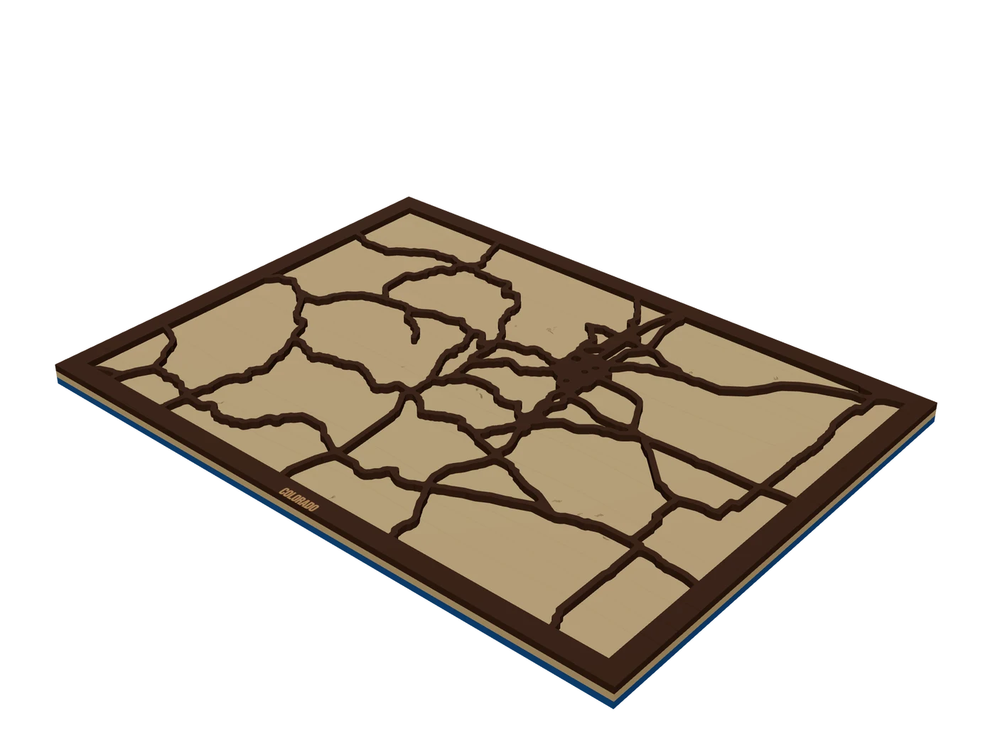 Places to mapState mapsA US state outline as the shape of the piece, with highways, lakes and a heart on the home town.
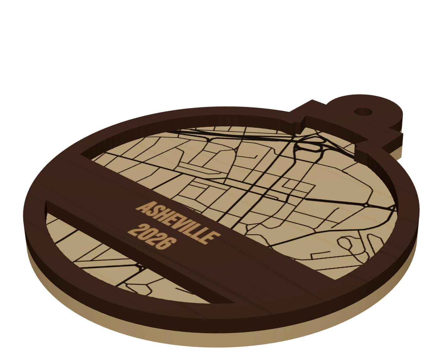 Pieces to makeMap ornamentsA 4 in layered hometown ornament with a name and a year. The map most customers buy first.
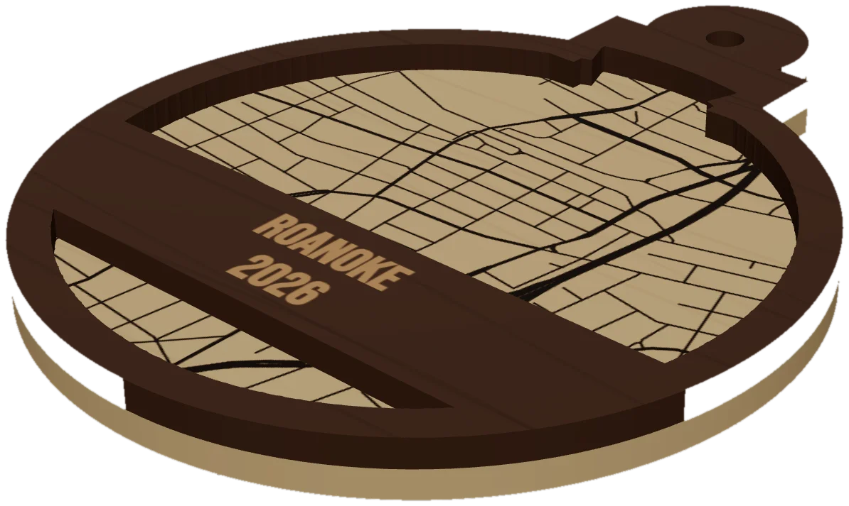 GuideWhy Map Ornaments Sell (and How to Make the Math Work)Why map ornaments sell comes down to three things: a place carries a memory, the wood costs pennies, and the season does your marketing for you. Here is the math, the calendar and the ornament ideas to sell, plus the one part of the job that quietly eats your profit.
Cut your first Utah piece.
Pick Utah as the frame, drop in the hometown, and see it in 3D before the laser does.
7 days free, then $12 a month. Cancel anytime. Or 10 maps for $10.
— more from MappSmith
Everything else this app gives you.
Free tools, libraries and guides — most of it works before you pay for anything.