Laser cut topographic maps from real elevation
A laser cut topographic map turns a mountain into a stack of wood you can run your hand over. MappSmith reads real elevation data, splits it into levels, and gives you one cut file per level. Hills build up, lakes can cut down, and the place name sits on a ring around the top.
7 days free, then $12 a month. Cancel anytime. Or 10 maps for $10.
- Terrain layers
- Up to 24
- Terrain + lake
- Up to 16 + 12
- Elevation data
- Copernicus DEM, metres
- Detail lines
- 0 to 3 per layer
- Smallest piece
- 0 to 15 mm filter
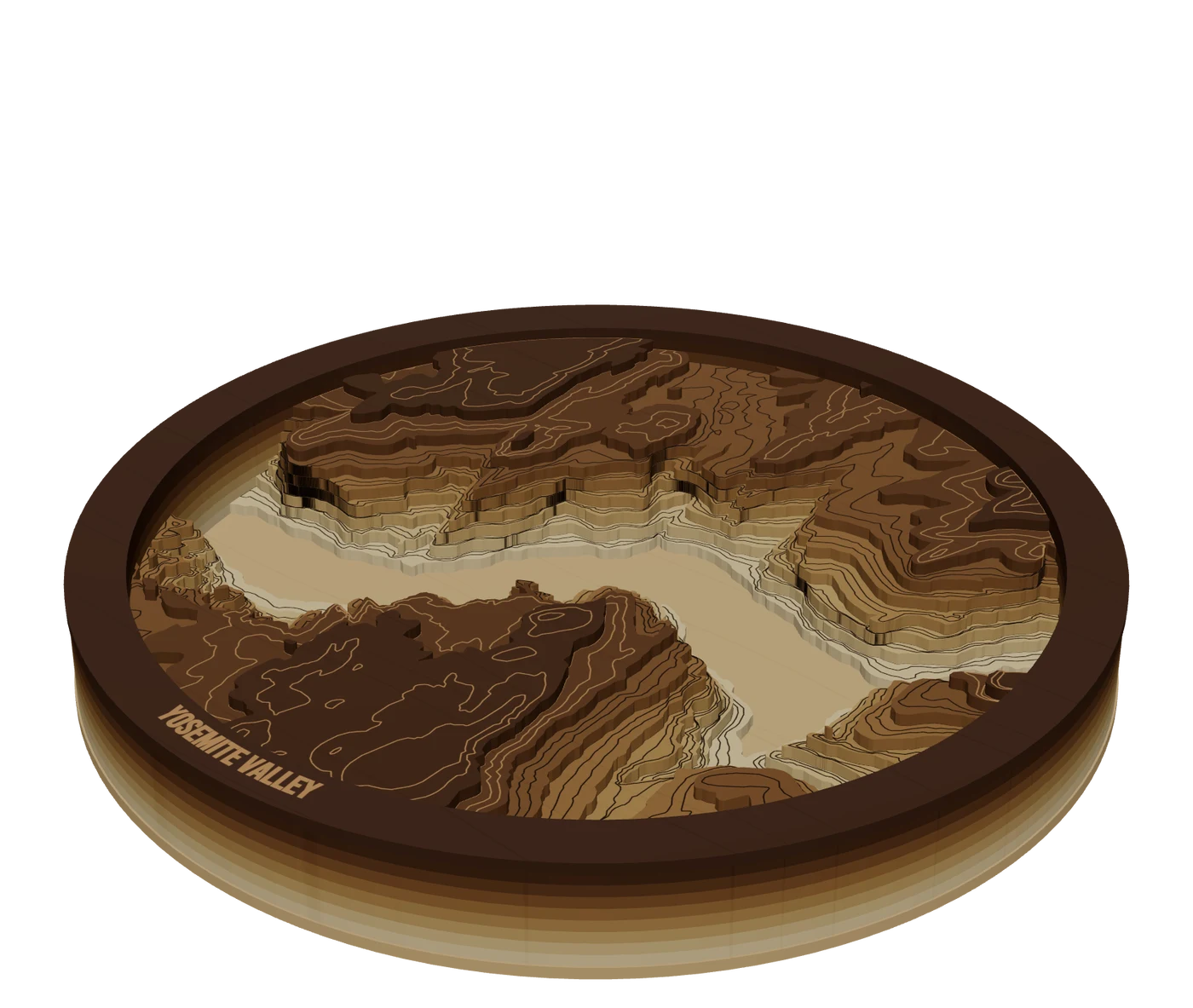
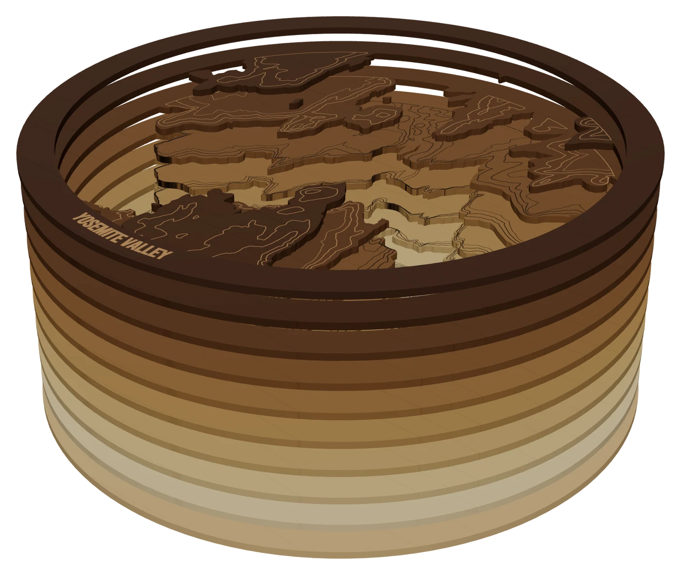
The layers, top to bottom
- Frame ringWalnutRing on top carrying the place name
- Terrain sheetsBirch or basswood plyOne sheet per level, each cut along its contour, glue guide scored
- WaterlineBlue acrylicAdded when a lake is in the frame
- Base platePlySolid bottom the stack sits on
How elevation becomes layers
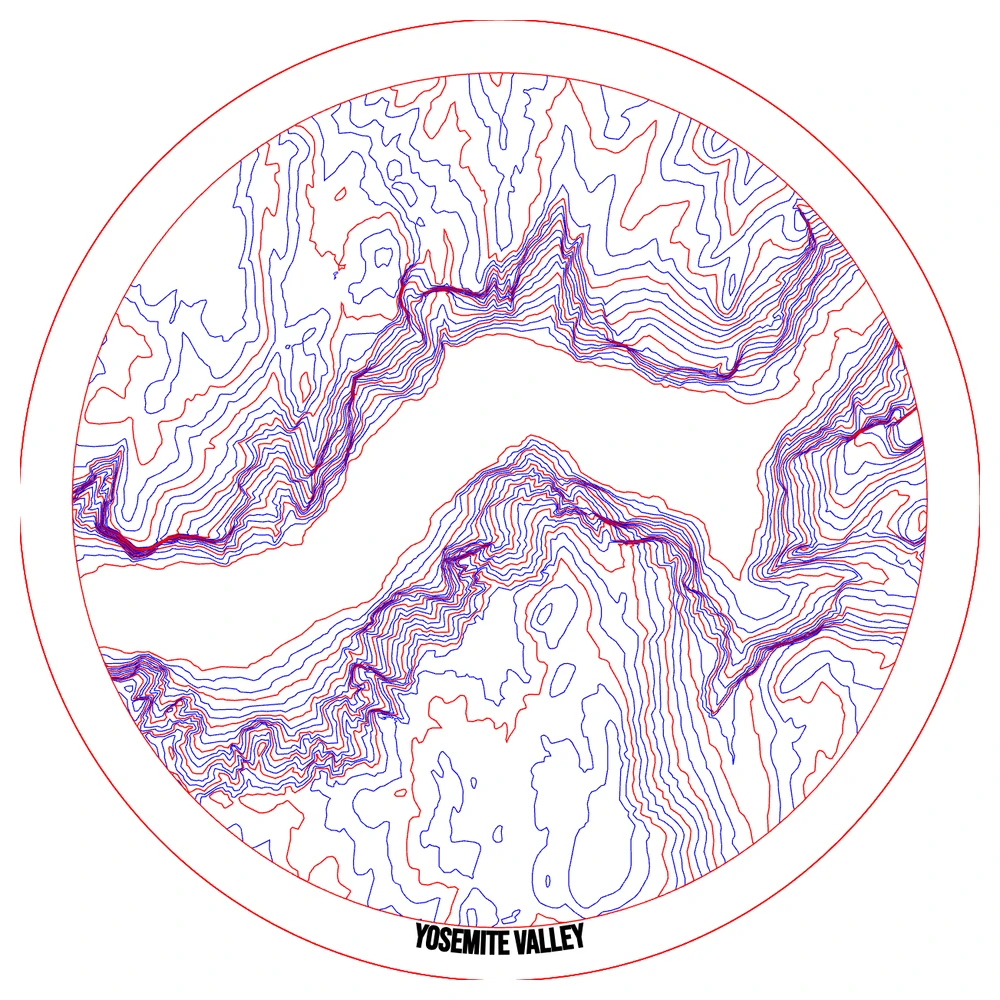
Elevation data is a grid of heights. Slice it at even steps and each slice is a contour: the outline of everything above that height. Cut each contour from its own sheet, stack them, and you have the hill. MappSmith uses Copernicus DEM elevation (in metres) and does the slicing for you in the Terrain & Depth panel.
- Frame a hilly areaFrame mountains, a valley or a ridge, and apply.
- Choose TerrainOr Both, if a lake is in the frame: the ground builds up and the lake cuts down in one stack.
- Set layers and sheet thicknessThe panel shows how many sheets you will cut and how tall the stack will be.
- Create the relief, then finish itAdjust edges, smallest piece, glue guides and the frame. Each change rebuilds the preview.
Laser cut topographic map styles: contour lines vs stepped layers
| Engraved contour lines | Stepped layers | |
|---|---|---|
| Sheets | One | One per level (up to 24) |
| Look | Flat, like a paper topo map | Real depth and shadow |
| Machine time | One engrave or score pass | A cut per sheet |
| Material | One board | Stack thickness = layers x sheet |
There's a middle path. "Detail lines per layer" engraves 1, 2 or 3 extra contour lines on each terrain sheet, so you get more detail without cutting more wood. The Topographic map style also scores elevation contours on a normal street map's land layer.
Keep the pieces cuttable
- Edges: Smooth, Natural or Sharp. Pick how crisp the contour edges look.
- Smallest piece: leaves out pieces and holes under a size you set (0 to 15 mm), and shows how much ground that is at your scale. This is where you lose the specks that would get sucked into the exhaust.
- Glue guides: a light scored line on each sheet showing where the next one sits. Scores go on their own layer, never the cut layer, so a sheet is not sliced along the outline of the one above.
- Frame: "Every layer" for solid walls, "Top layer only" for a ring with open layers below, or none.
What a topo map really takes
One hobbyist's first topo map came to about $50 in materials, $300 in laser time at a shop, $40 for the frame, and "about 3 weeks of evenings." Most of the evenings were the file. That's the part MappSmith shortcuts. The cutting and gluing still take what they take.
Clamps squeeze out more glue than you think.
The Shamblog, topo map build
Glue thin and even, weight the stack, and dry-fit first. For color, a hypsometric stain (darker low, lighter high) looks great. The preview's color ramps (Hypsometric, Woodgrain, Contour, Slate, Ember) only tint the screen, so you can test a look before you stain.
Pick a place with real relief
A topo map needs height to work with. Frame a flat farm county and you get two or three sheets and a pancake. Frame a mountain, a canyon, a ski hill or a lake in the hills and every level tells you something. If the Terrain button is greyed out, there's no elevation data in the frame: move or widen it.
- Home mountains and national parks. Instantly recognizable, and the buyer has stood on them.
- Canyons and river valleys. The drop reads as strongly as a peak, and the river can be cut through to a blue base.
- Ski hills and trail systems. Pair with a GPX route so the run or the hike sits on the real slope.
- A lake in the hills. Use Both so the ground rises and the lake drops in one piece.
Then do the stack math. Our math: 24 sheets of 3 mm stock is a 72 mm stack before the base and frame ring. That's a deep shadow box. Fewer, thicker sheets read bolder. More, thinner sheets read smoother but cost more glue-ups. The Terrain & Depth panel shows the height as you change either one.
Questions makers ask
How many layers should a topographic map have?
Enough to read the shape, few enough to glue. MappSmith allows up to 24 terrain layers. The panel shows the stack height as you change the count, so check it against your frame before you commit.
Can I include a lake in a topo map?
Yes. Choose Both: the ground builds up, the lake cuts down, with a waterline sheet where they meet.
Where does the elevation data come from?
Copernicus DEM, a public global elevation model, published in metres.
My map has tiny islands of wood. How do I remove them?
Raise Smallest piece. It drops pieces and holes under that size and shows how much ground you lose.
Do I need a frame?
No, but a frame ring on top hides edge flaws and carries the name. One builder notes a simple black frame "hides the imperfect edges."
Keep going
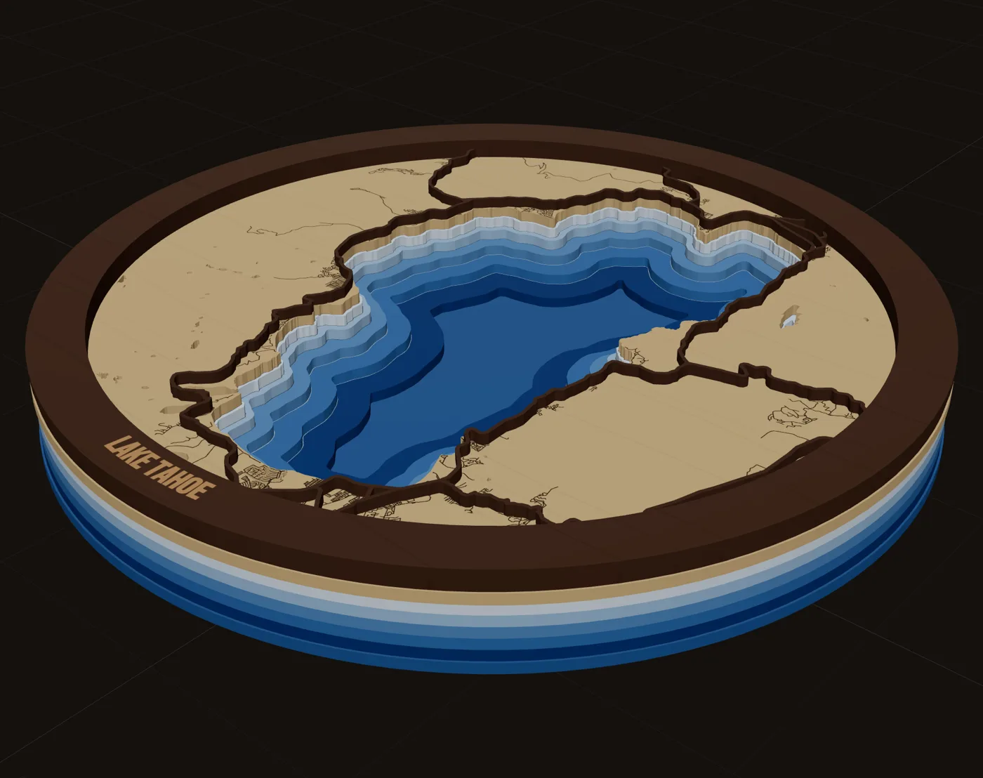
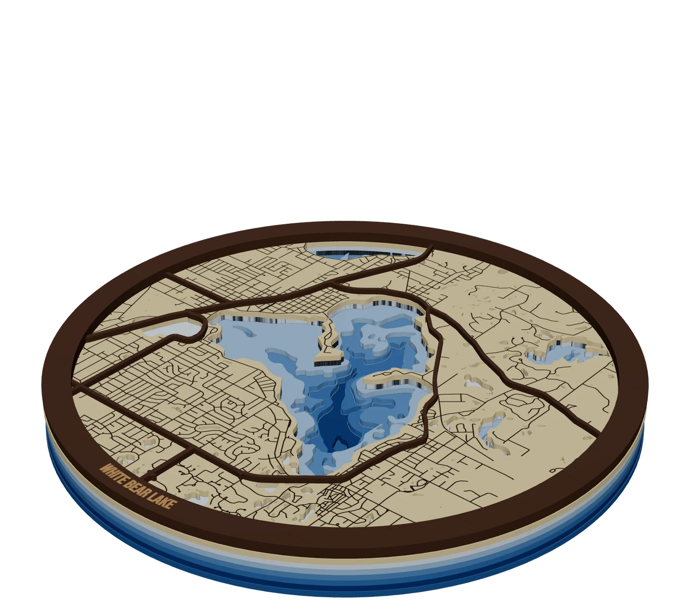 Places to mapLake depth mapsBathymetric lake maps: real depth surveys split into bands, cut down layer by layer in shades of blue.
 Pieces to makeStacked multi-material mapsMix woods and acrylics in one layered map: water through land holes, contrasting tops, planned thickness.
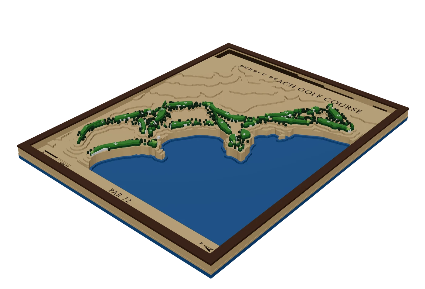 Places to mapGolf course mapsRaised or carved golf course maps with fairways, greens, bunkers, water, trees and hole numbers.
 GuidePremium Map Finishing Techniques for Laser Cut MapsThese map finishing techniques are what separate a craft-fair map from one that sells framed. Masking, color, water, glue, edges and lighting each add a little. Some advice here comes from published tutorials, some from forum makers; we mark which is which. Test everything on scrap first.
 GuideHow to Make a Laser Cut Map: The Free Way and the Fast WayThis is how to make a laser cut map that holds together, reads at a glance and sells. We cover the free manual route with OpenStreetMap and vector software, the faster route in MappSmith, and everything after the file: crop, layers, wood, settings, glue and finishing. Use whichever route fits your shop. The craft is the same.
Make your first topographic maps file tonight.
Search the place, pick the piece, check it in 3D, download files that open in LightBurn, xTool Creative Space and Glowforge.
7 days free, then $12 a month. Cancel anytime. Or 10 maps for $10.
— more from MappSmith
Everything else this app gives you.
Free tools, libraries and guides — most of it works before you pay for anything.