Laser cut lake maps with real depth
A laser cut lake map is a lake house owner's favorite thing. Add the depth and it becomes a chart they study. MappSmith reads public lake depth surveys (bathymetry), splits them into bands, and cuts the lake bed down in stacked layers under your map. No survey? It models the bed from the shoreline and tells you it did.
7 days free, then $12 a month. Cancel anytime. Or 10 maps for $10.
- 3D lake sizes
- 10, 12, 16, 18 in squares
- Depth chart sizes
- 8, 10, 12, 16 in
- Water layers
- Up to 16
- Depth data
- Public surveys, or simulated
- Peak season
- July
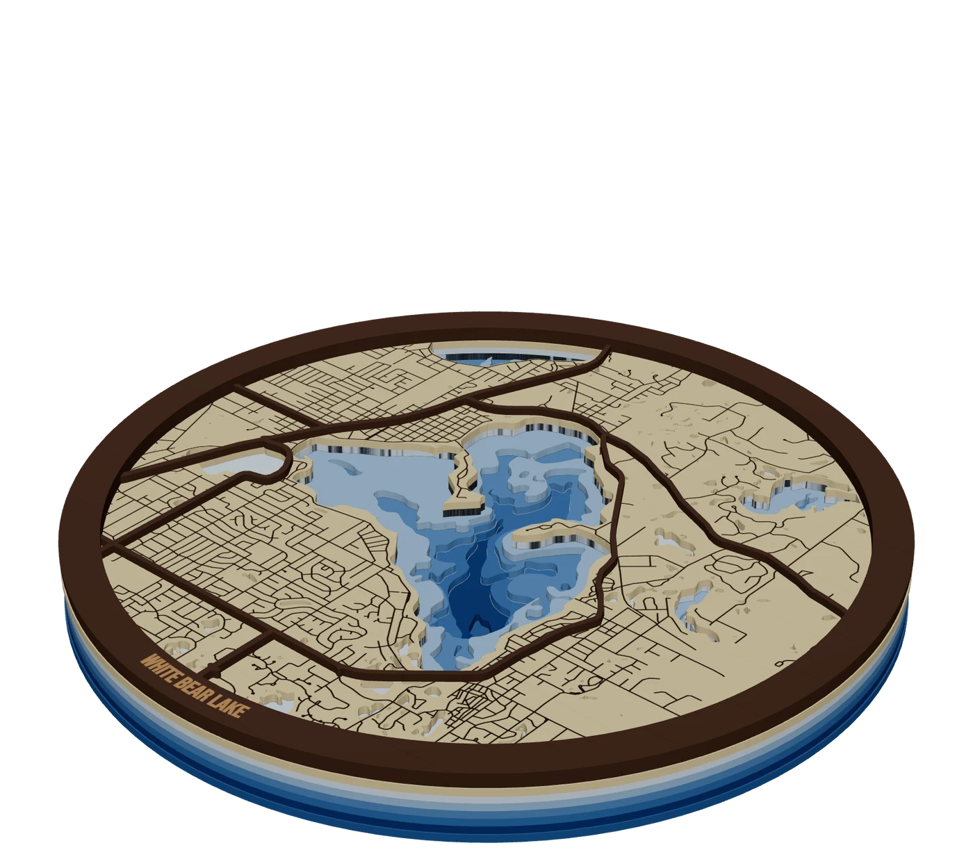
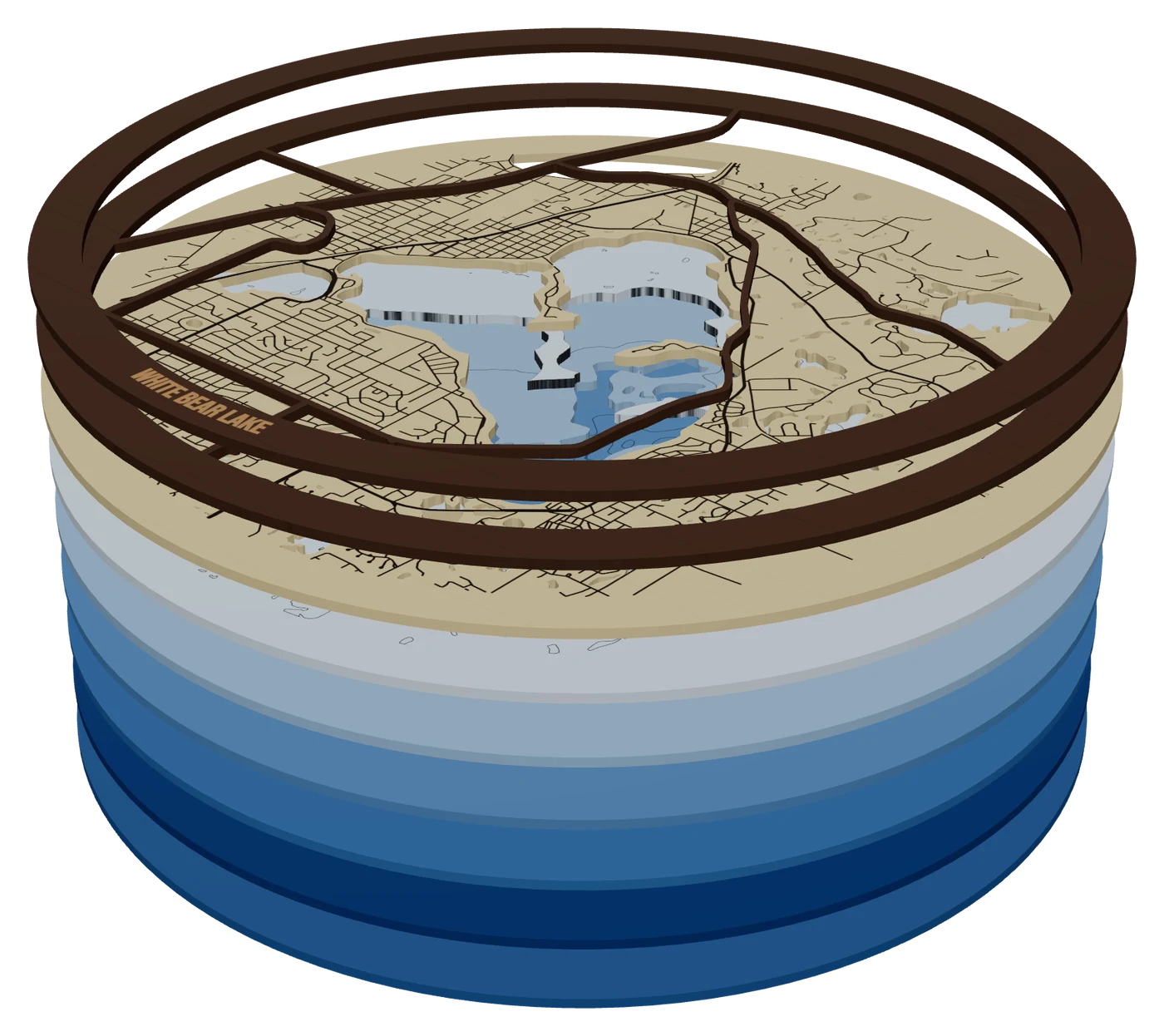
The layers, top to bottom
- RoadsWalnut, 3 mmMain roads around the lake, cut as pieces
- LandBirch, 3 mmShoreline cut out, local roads and the lake name engraved
- ShallowBlue acrylic or stained plyShallowest depth band, waterways engraved
- Mid / DeepBlue acrylic or stained plyEach band cut to a deeper survey contour
- DeepestBlue acrylic or darkest stainBase plate, shows only in the deepest holes
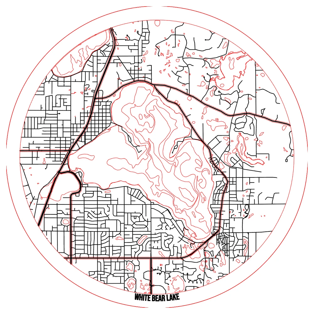
How depth surveys become cut layers
A depth survey is a set of contour lines: every point along one line is the same depth. MappSmith turns each chosen depth into a band. The deepest band is the base. Each band above it has a bigger hole, cut along a shallower contour. Stack them and the lake steps down toward its deepest spot. For the full walkthrough, read lake depth maps explained.
- Surveyed uses real soundings from public lake surveys. Depths are in feet because that's how the surveys publish them.
- Simulated shapes the bed from the shoreline. Pick a shape (gentle bowl, steep sides, drop-off, deep hole, sandbars and more) and type the real deepest point if you know it.
- If fewer than 60% of a survey's contours close into shapes, they can't be cut cleanly, so MappSmith switches to Simulated and says so.
Two ways to make a lake depth map in wood
| Lake depth chart | 3D lake | |
|---|---|---|
| Look | Depth contours engraved like a nautical chart | Lake bed cut down in stacked layers |
| Build | Layered (base, land, streets) or one board | Up to 16 water layers under your map |
| Sizes | 8, 10, 12, 16 in (10 default) | 10, 12, 16, 18 in (12 default) |
| Best for | Quick, giftable, lower price | The premium wall piece |
One Glowforge maker built a Lake Murray bathymetric map with maple top layers over cheap plywood below to suggest depth. You don't need every layer to be good wood. Only the faces people see.
Color the water: acrylic or stain
The simplest blue is acrylic. Each band in the Lake depths style defaults to blue acrylic. If you want wood, stain each band darker as it gets deeper. One builder diluted water-based blue stain for each depth, for example 1 part stain to 2 parts water, darkest at the deepest layer. Test on scrap first: you can add color but you can't take it away.
Want shiny water? Blue pigment in two-part epoxy poured into laser-etched waterways is a proven trick, and you can backlight it.
- Leave Glue guides onEach sheet gets a light scored line showing where the next one sits.
- Cut every sheetSheets are numbered from the bottom: 1 is the base.
- Dry-fit, then glueBase, then water sheets deepest to shallowest, then your map layers on top. Thin, even glue, weighted while it dries.
Design a lake map people recognize
- Frame the whole shoreline. The outline is what the owner knows. Leave a margin of land so the shape floats in the frame.
- Keep the roads around the lake. Main roads cut on top tell people where the cabin road runs. Local streets engraved on the land layer add texture without clutter.
- Mark the cabin. Drop a Heart, Star or Compass rose pin on the dock, then put the family name and the year on the band.
- Cut to the lake itself. Search the lake, then press "Place" in Size & shape to use the lake's own outline as the edge of the piece, where one is published.
- Check the survey before you quote. Look for the "No data here" badge on the Lake depth piece. If it shows, sell it as a modelled lake bed or as a shoreline map, not as a survey chart.
Shoreline and roads come from OpenStreetMap, so credit "© OpenStreetMap contributors" on the listing and packaging. See map attribution.
Who buys a laser cut lake map, and when
Lake owners identify hard with their lake, the shape reads instantly, and every lake is its own search. Searches for "lake map" and "lake depth map" peak in July and bottom out in November and December. List lake pieces in late spring.
Price reference: a Lake Vermilion 3D map lists from $179.95 in sizes 11x14 to 24x30, and its price rises with size and with the number of hand-stained water layers. A 13x13 lake depth board from Michigan State Industries is $60. That gap is the difference between an engraved chart and a stacked, stained 3D lake.
Questions makers ask
Can I make a map of any lake?
You can frame any lake. Real depth bands need a public depth survey for that lake. Without one, MappSmith models the bed from the shoreline and marks it Estimated.
How many layers should a lake depth map have?
It depends on the lake and the size. MappSmith allows up to 16 water layers. More layers means more glue-ups and more cost, so price them in, the way one seller's price rises with the number of stained water layers.
Acrylic or wood for the water?
Blue acrylic is fastest and consistent. Stained plywood looks warmer: dilute the stain more for the shallow bands and test on scrap.
Why are depths in feet and heights in metres?
That's how the sources publish them. Lake surveys use feet, elevation data uses metres. Both are labeled.
When should I list lake maps?
Before summer. Lake map searches peak in July.
Sources (7)
- Google Trends US, seasonality pulled for MappSmith keyword research (2026-10-17)
- The Shamblog: making a laser cut topo map, the build phase
- Glowforge Owners Forum: bathymetric map of Lake Murray
- HackSpace: DIY illuminated waterways map
- Etsy: Lake Vermilion MN 3D laser cut wood map
- Michigan State Industries: lake depth map boards
- OSMF Attribution Guidelines
Keep going
 GuideLake Depth Maps Explained: Bathymetry for Laser MakersA lake depth map turns the bottom of a lake into stacked layers you can see and touch: shallow water near the shore, the deep hole in the middle. It is one of the most loved map gifts, and one of the easiest to get backwards. Here is how bathymetry works and how to stack it right.
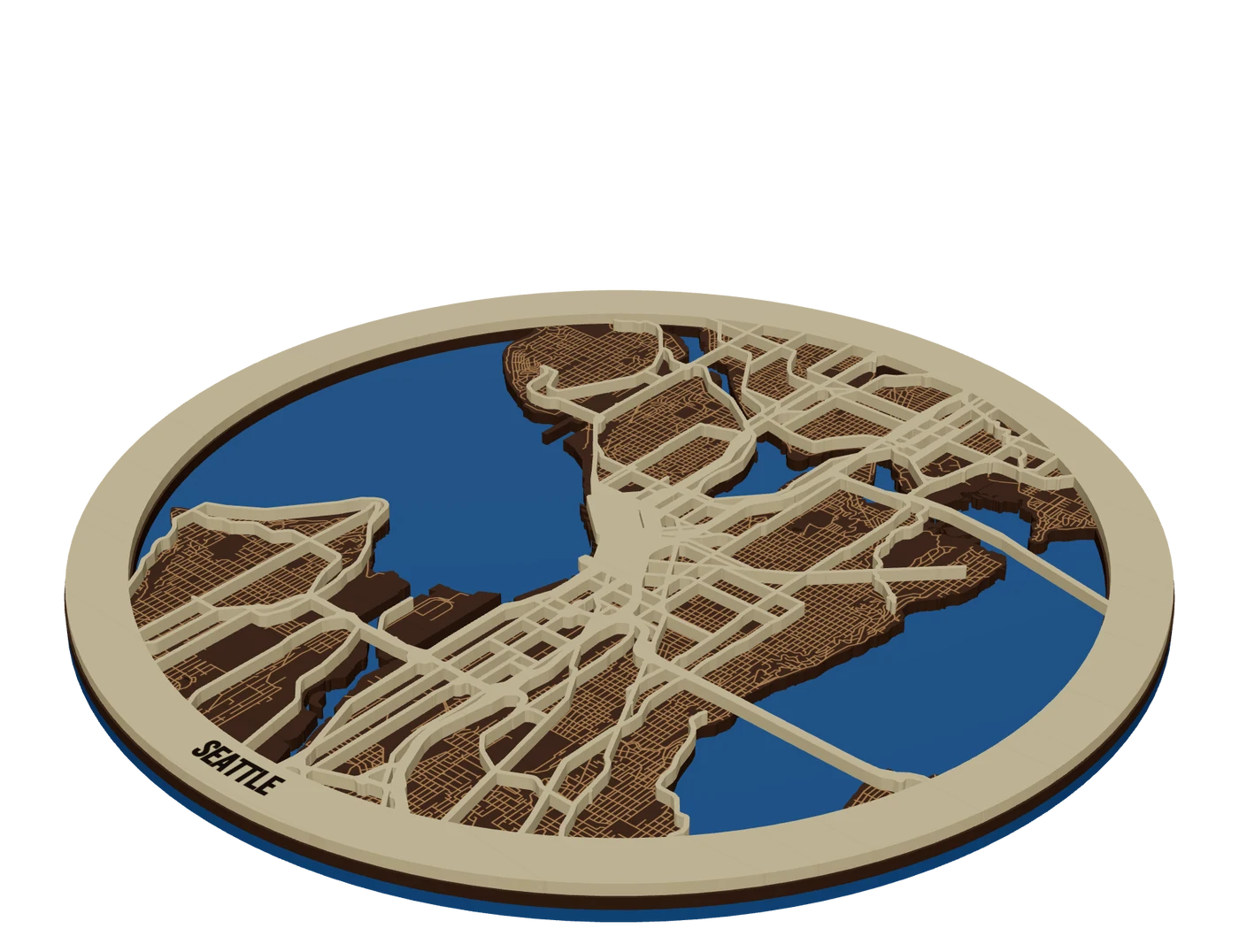 Pieces to makeStacked multi-material mapsMix woods and acrylics in one layered map: water through land holes, contrasting tops, planned thickness.
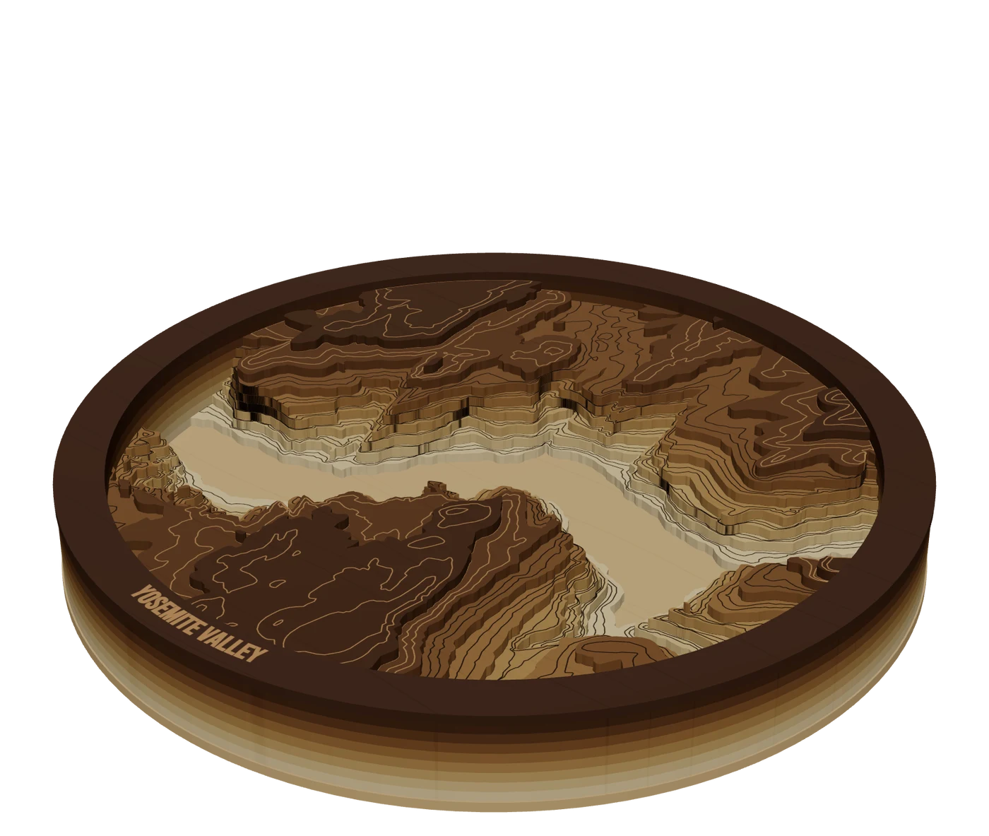 Places to mapTopographic mapsReal elevation data split into levels, so mountains build up in stacked layers you cut and glue.GuidePremium Map Finishing Techniques for Laser Cut MapsThese map finishing techniques are what separate a craft-fair map from one that sells framed. Masking, color, water, glue, edges and lighting each add a little. Some advice here comes from published tutorials, some from forum makers; we mark which is which. Test everything on scrap first.
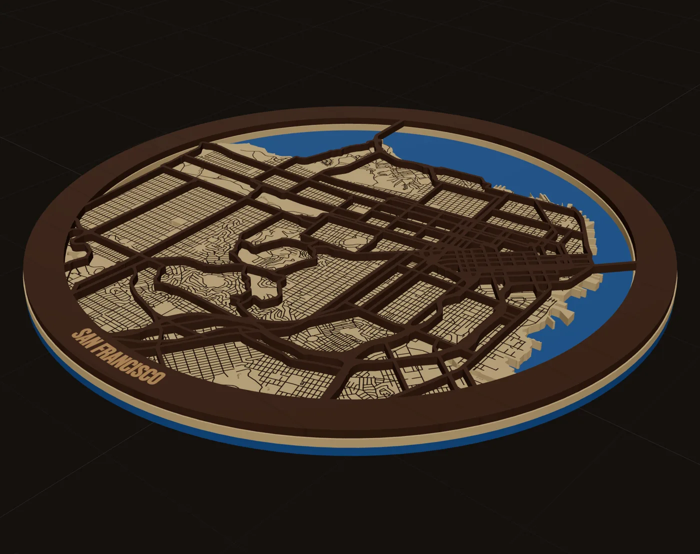 GuideWhy Laser Maps Sell at a Premium (and How to Price Them)Layered wood maps sell for far more than the wood they are made of, and buyers pay it happily. This guide covers how to price laser cut maps: what the market charges by size, why buyers see the value, and a simple formula you can run on every quote.
Make your first lake depth maps file tonight.
Search the place, pick the piece, check it in 3D, download files that open in LightBurn, xTool Creative Space and Glowforge.
7 days free, then $12 a month. Cancel anytime. Or 10 maps for $10.
— more from MappSmith
Everything else this app gives you.
Free tools, libraries and guides — most of it works before you pay for anything.