GPX route maps for your laser
A GPX route map laser piece turns a finish line into something that hangs on a wall. Import the GPX file from a marathon, a trail, a century ride or a road trip, and MappSmith draws the track as its own line piece over real streets. Engrave it, score it, or cut it raised. The file is read in your browser and never uploaded.
7 days free, then $12 a month. Cancel anytime. Or 10 maps for $10.
- Imports
- GPX tracks and routes
- Line ops
- Engrave, score or cut
- Privacy
- Read in the browser only
- Pins
- Star, heart, compass and more
- Also imports
- Your own SVG shapes
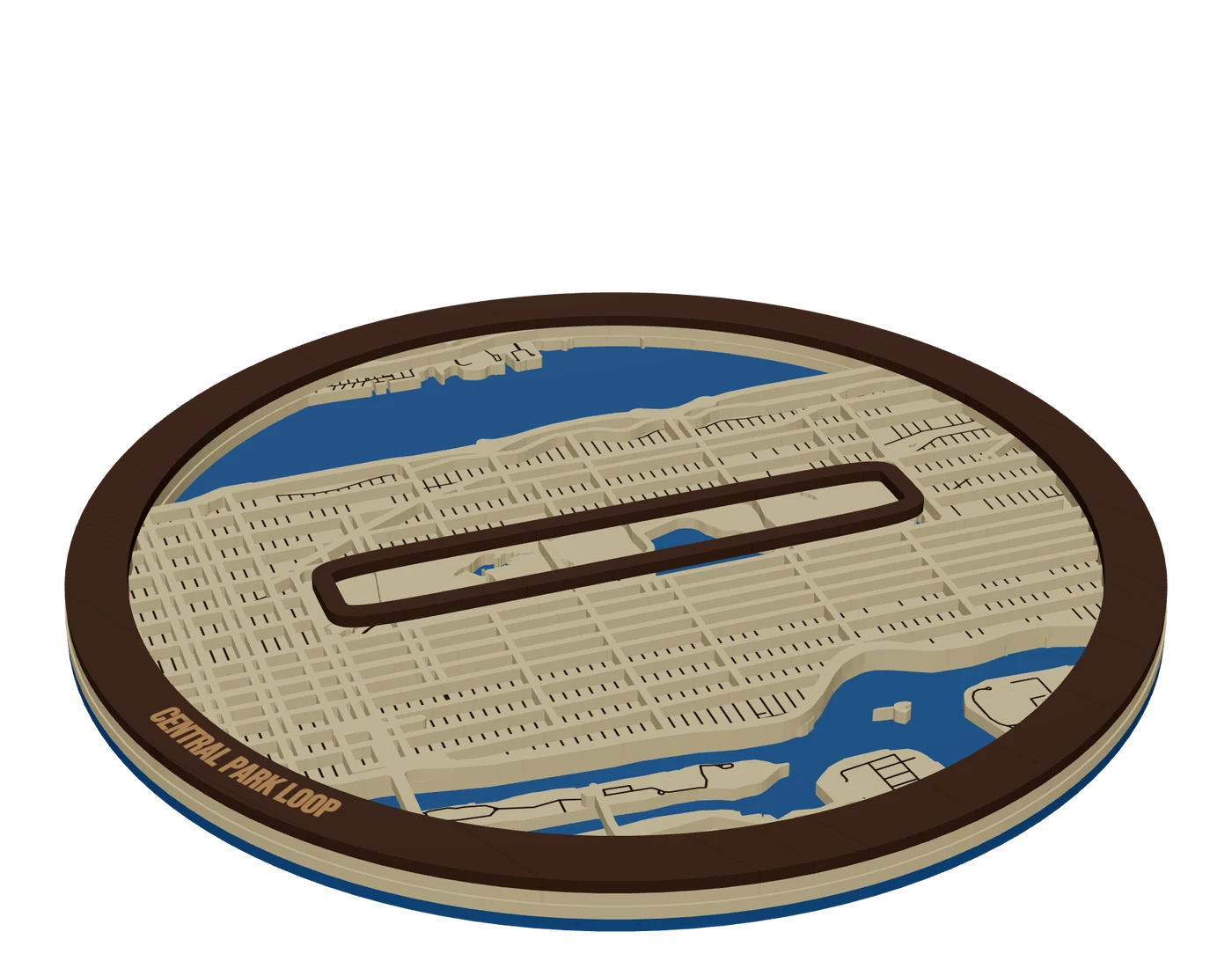
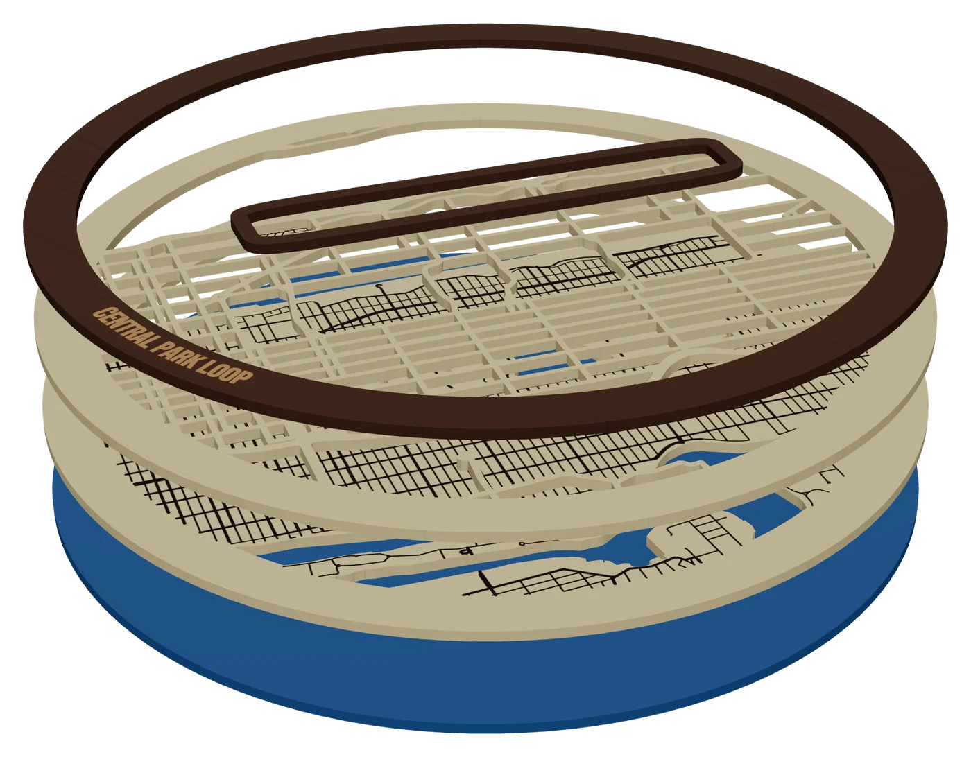
The layers, top to bottom
- TopWalnut, 3 mmMain roads and the raised route, welded to the frame band
- LandBirch, 3 mmWater cut out, local streets engraved, start and finish pins
- WaterBlue acrylic, 3 mmSolid base under rivers and lakes
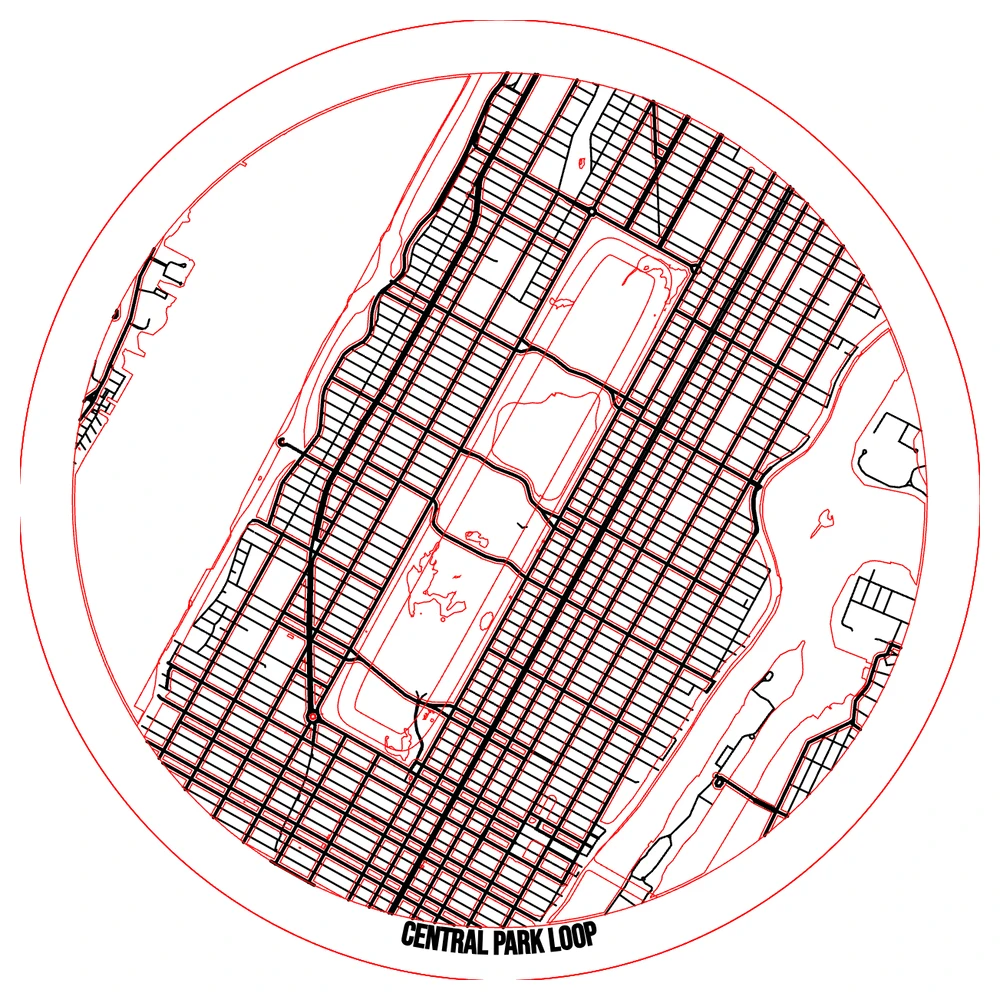
What the GPX import reads
Open a layer, press "+ add piece", choose Bring your own, then GPS track (GPX). Here is exactly what MappSmith takes from the file:
- Tracks. Every track segment becomes its own line. Where the recorder lost signal or was paused, the gap stays a gap. Joining it would draw a straight line through a mountain the runner went around.
- Routes. Planned routes (route points) are read too, so a road trip planned ahead works as well as one recorded.
- Not waypoints. Loose waypoints are single points with no length to cut, so they are skipped. Mark start, finish or a special spot with a pin instead.
- The name. The track or route name is kept as the piece name.
The file is parsed in your browser and never leaves your computer. A track log is a record of where someone actually went, so that matters. The track's points are saved in your design, so the project reopens with it.
Engrave, score or cut the route
| Op | Look | Use it when |
|---|---|---|
| Engrave | A dark burned path | Single-board pieces, ornaments, coasters |
| Score | A crisp thin line | Fast, clean, reads well over engraved streets |
| Cut (raised) | The route stands up on the top layer | The premium layered piece |
The route has its own line width, from 0.05 to 3 mm. Make it the boldest line on the piece. It's the whole point. Turn local streets down or off so it doesn't get lost. If the route runs along a river or a shoreline, keep the water: it tells the viewer where they are.
Route gifts that make sense
- Marathon or half. The course over the city, the finish time and date on the band.
- Trail or thru-hike section. Pair it with topographic layers so the climb is real.
- Bike route or century ride. A long route needs a wide frame. Rivers and highways give it context.
- Road trip. Planned or recorded. Pins on the stops. Our math: a cross-country trip is wider than one frame can load (about nine degrees), so map a leg or a region.
- First run, first ride, a memorial walk. Small, personal, often an ornament or coaster.
Ask for the GPX at checkout. Many GPS watches and fitness apps can export one. Put the date, time or distance in the frame band or on a name bar.
Make a GPX route map for the laser in five steps
- Frame the areaSearch the start town and frame the whole route with a little margin.
- Import the GPXAdd it to the layer where it should live: the land layer to engrave or score, the top layer to cut raised.
- Set the widthBolder than any street. Check the "This sheet" picture.
- Add pins and textStar at the finish, name and date on the band.
- Preview and downloadWelded on, one SVG per layer plus your machine format.
Streets come from OpenStreetMap, so credit it on the listing and packaging (how).
Sizing and proofing a route piece
A route has to be readable at the finished size. A marathon course across a city on a 10 inch square is a bold line. The same course on a 4 inch ornament is a squiggle. Match the frame to the route: a short trail or a first run suits an ornament or coaster, a long ride or a race course suits a layered wall piece.
| Route | Good format | Route op |
|---|---|---|
| First run, memorial walk | Ornament or coaster | Engrave |
| 5K, 10K, half | Engraved or 2-layer square | Score or engrave |
| Marathon, century ride | 3-layer wall map | Cut raised, welded to streets |
| Trail or hike | Topo relief or engraved board | Score |
Proof before you cut. GPS tracks wander: a watch that lost signal can draw a spike across a block. Look at the track on the 2D plate, and send the customer a snapshot from the 3D preview with the name, date and time spelled out.
Questions makers ask
What GPX files work?
Files with tracks or planned routes. Track segments stay separate lines. Waypoints on their own are ignored because a point has no length to cut.
Is my GPS track uploaded anywhere?
No. MappSmith reads the GPX in your browser. Its points are saved inside your design so the project reopens with the route.
Can I cut the route as a raised piece?
Yes, on a pieces layer, as long as it touches the street network or the frame band. Otherwise engrave or score it.
Can I add start and finish markers?
Yes. Pins come as Star, Heart, Hexagon, Diamond, Triangle, Compass rose or North arrow. A pin touching a road fuses to it.
Can I import a route drawn in another program?
If it's a GPX, yes. You can also bring in an SVG shape, which is placed at the center of your map view.
Keep going
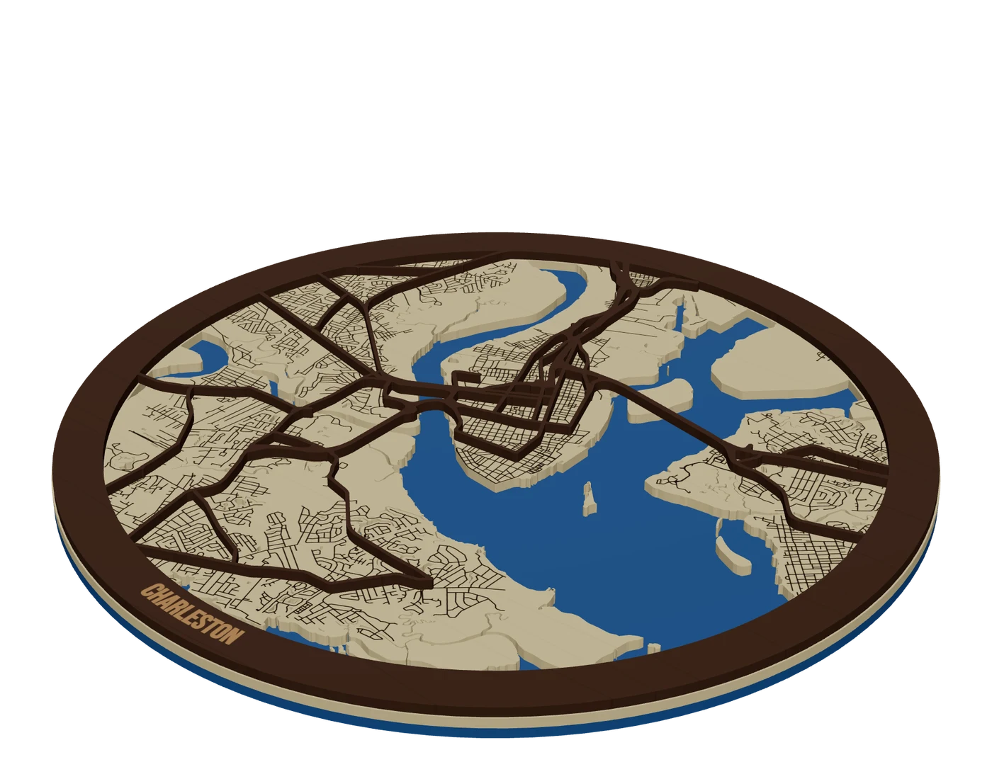
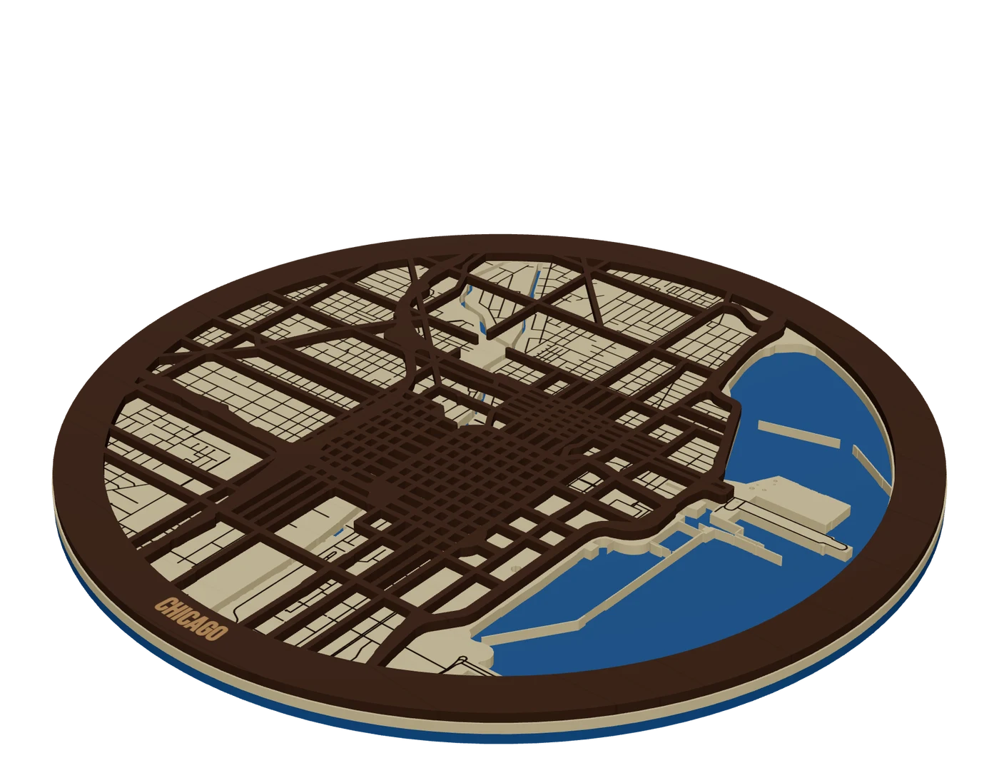 Places to mapCity street mapsLayered city maps with real street hierarchy, water showing through and streets that never fall out.
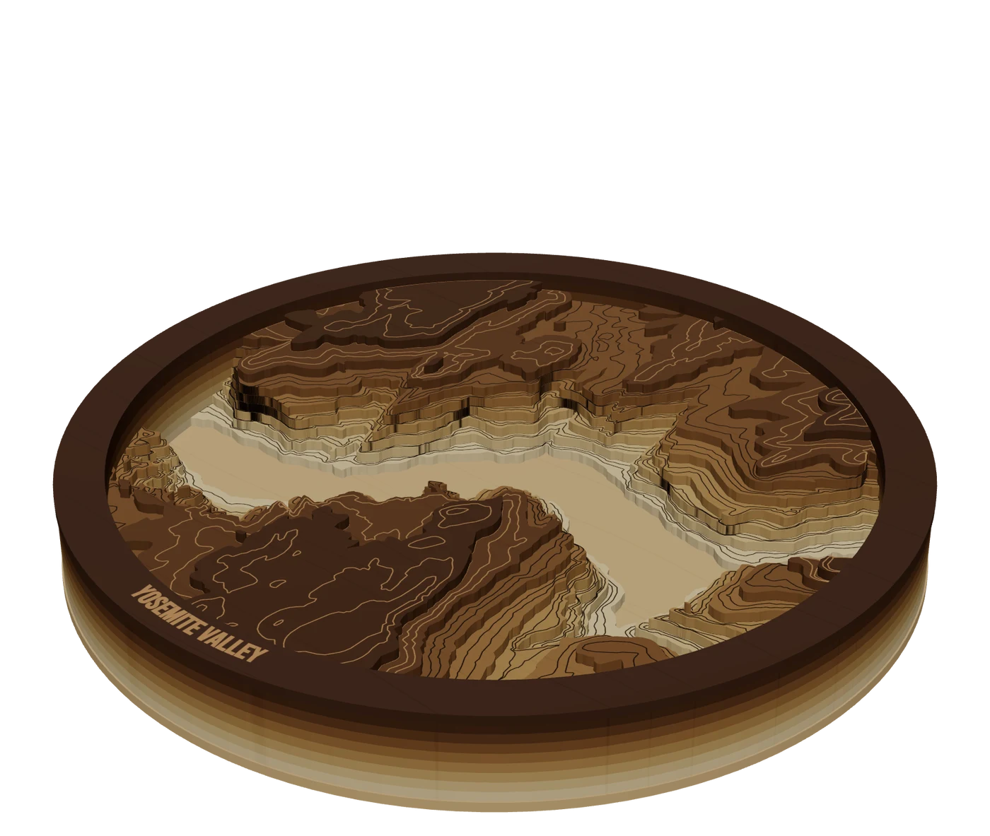 Places to mapTopographic mapsReal elevation data split into levels, so mountains build up in stacked layers you cut and glue.
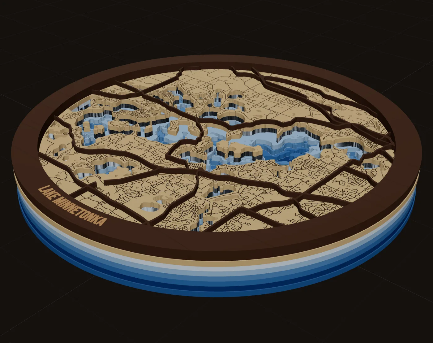
 Pieces to makeMap giftsWhich map to make for which occasion, who buys it, and when demand peaks.
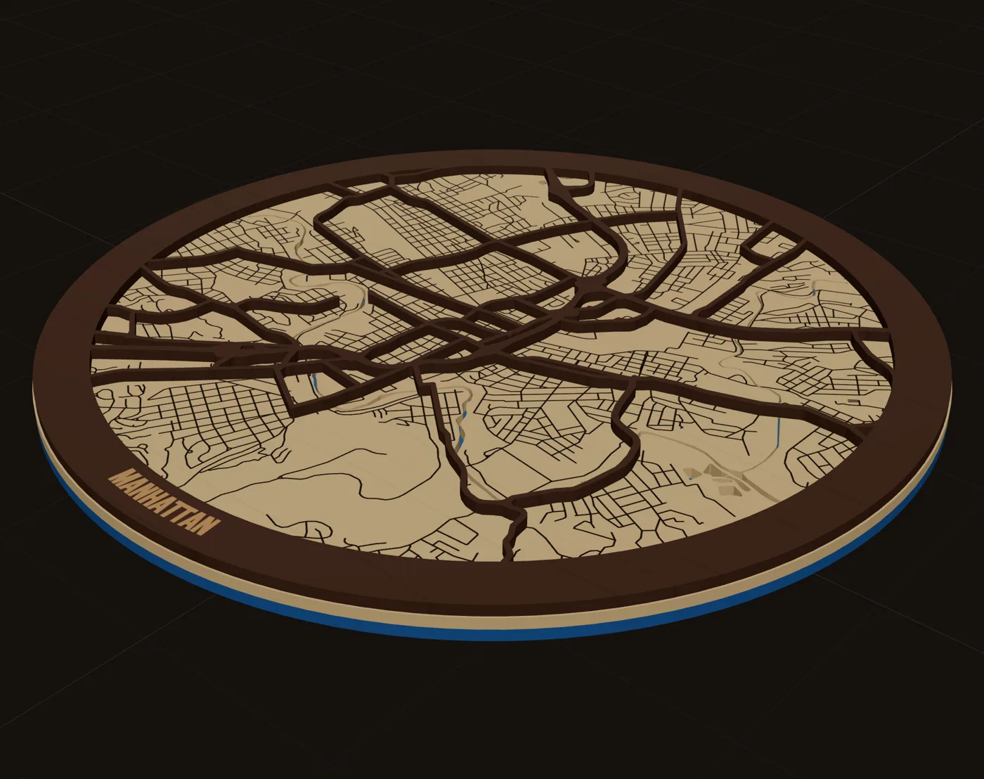
 GuideDesigning Maps That Sell: Crop, Water, Roads and WordsDesigning maps that sell is mostly about leaving things out. A buyer has to recognize the place from across a room, then read the name, then notice the detail. This guide walks through the choices that get you there: crop, water, roads, words, shape, contrast and size.
 GuideOpenStreetMap Attribution for Products You SellIf your map pieces use OpenStreetMap streets, you can sell them. You just need to credit the data. This is a short, practical guide to OpenStreetMap attribution for products: what to write, where to put it, and what the license does and doesn't ask of you.
Make your first gpx route maps file tonight.
Search the place, pick the piece, check it in 3D, download files that open in LightBurn, xTool Creative Space and Glowforge.
7 days free, then $12 a month. Cancel anytime. Or 10 maps for $10.
— more from MappSmith
Everything else this app gives you.
Free tools, libraries and guides — most of it works before you pay for anything.