Washington map, cut to the state line
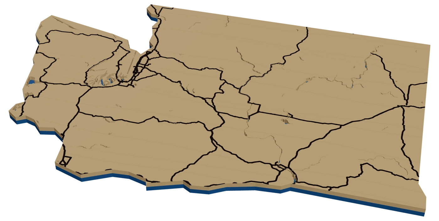
Washington buyers want water and mountains in the same piece, and the state delivers both. A laser cut Washington map can be a Seattle neighborhood on the Sound, Rainier in stacked elevation, or a state ornament with a heart on home.
7 days free, then $12 a month. Cancel anytime. Or 10 maps for $10.
Places in Washington people ask for
What sells in Washington
Seattle is all water. Puget Sound on one side, Lake Washington on the other, Lake Union in the middle. A city street map of a Seattle neighborhood with every body of water on its own layer is one of the best city pieces you can make. Bainbridge and the ferry towns sell too.
Rainier is the showpiece. A topographic map with the glaciers and ridges in stacked levels is what people in the Sound region want on the wall. Mount Baker, the North Cascades and the Olympics are close behind.
East of the mountains is a different market: Spokane, Pullman, the Tri-Cities, Wenatchee and Lake Chelan. Chelan is a strong lake depth map candidate where the Studio has survey data, because the lake is so long and deep.
Ferry routes are a nice touch for island and peninsula families. A line from the dock in Seattle or Edmonds to Bainbridge or Kingston, engraved over the Sound, tells the daily commute story. Spokane sells as a hometown map with the river and the falls downtown.
Making a laser cut Washington ornament
Washington is a wide rectangle with a busy northwest corner: Puget Sound cuts in, the Olympic Peninsula sticks out, and the Columbia forms part of the southern border. At 4 in, inside, use I-5 down the Sound, I-90 across the state to Spokane, and the Columbia River. A star on Rainier is a nice touch.
The islands need a check. The outline traces the largest landmass and is simplified, so the San Juans and Whidbey Island fell outside it in our check, while Bainbridge and Seattle were inside. Check the outline in the Studio, and use a round frame for an island buyer.
Crimson and gray for the Cougs, purple and gold for the Huskies. A deep green backer reads as the Evergreen State.
Keep the frame band thin around Puget Sound so the inlets stay crisp.
Questions makers ask
Are the San Juan Islands inside the Washington outline?
Not in our check. The state frame traces the main landmass, so the San Juans and Whidbey fall outside it. Use a round frame centered on the island.
Can I make a Mount Rainier terrain map?
Yes. Frame the mountain, turn on elevation and use several levels. Rainier rises so far above everything around it that it stacks dramatically.
Can I show Seattle's lakes and the Sound on one map?
Yes. Zoom to the neighborhood and the water layers come in on their own. Cut them out and let a blue backer show through.
Keep going
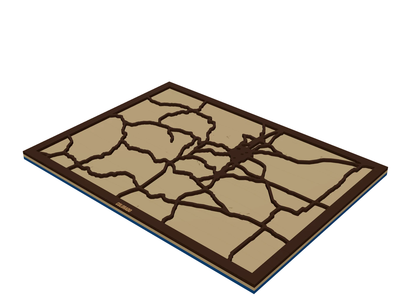 Places to mapState mapsA US state outline as the shape of the piece, with highways, lakes and a heart on the home town.
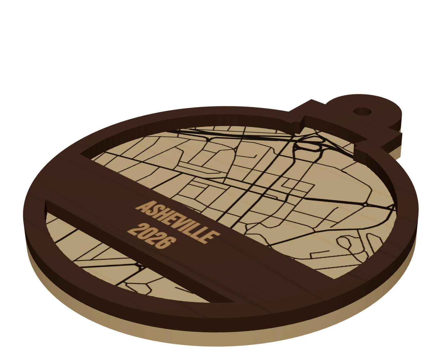 Pieces to makeMap ornamentsA 4 in layered hometown ornament with a name and a year. The map most customers buy first.
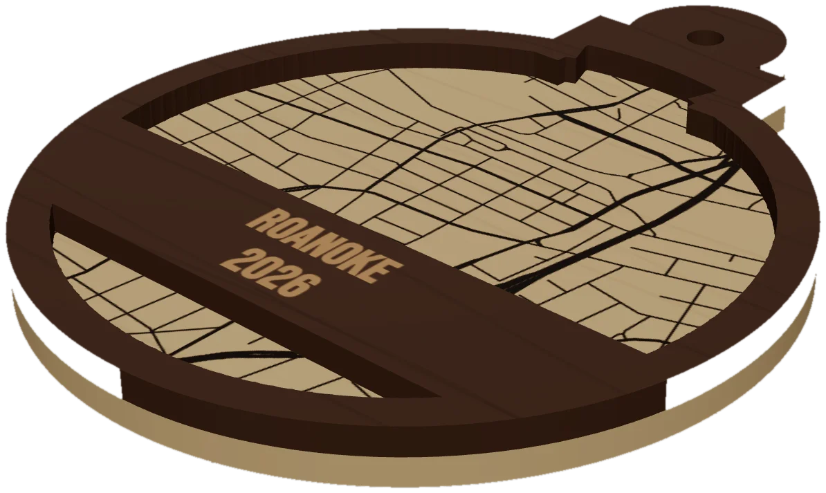 GuideWhy Map Ornaments Sell (and How to Make the Math Work)Why map ornaments sell comes down to three things: a place carries a memory, the wood costs pennies, and the season does your marketing for you. Here is the math, the calendar and the ornament ideas to sell, plus the one part of the job that quietly eats your profit.
Cut your first Washington piece.
Pick Washington as the frame, drop in the hometown, and see it in 3D before the laser does.
7 days free, then $12 a month. Cancel anytime. Or 10 maps for $10.
— more from MappSmith
Everything else this app gives you.
Free tools, libraries and guides — most of it works before you pay for anything.