South Dakota map, cut to the state line
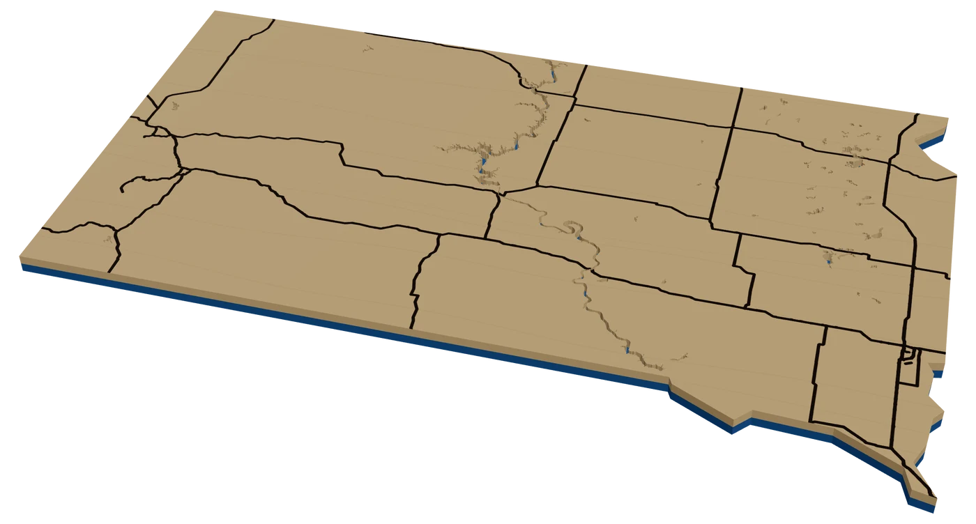
South Dakotans talk about East River and West River, and a good map shows both. A laser cut South Dakota map can be the Black Hills in stacked elevation, a Badlands piece, or a state ornament with a heart on home.
7 days free, then $12 a month. Cancel anytime. Or 10 maps for $10.
Places in South Dakota people ask for
What sells in South Dakota
The Black Hills are the showpiece. Mount Rushmore, Custer State Park, Needles Highway and Spearfish Canyon all stack well as a topographic map. Visitors buy it after the trip, and locals in Rapid City buy it because it is home.
Riders are a real market. The Sturgis rally brings motorcycles into the Hills every August, and riders want the loop they rode. Import the GPX from their ride and engrave it over the terrain. See route maps.
East River is the hometown market: Sioux Falls, Brookings, Vermillion, Aberdeen, Mitchell. And the Missouri River lakes, Oahe, Sharpe, Francis Case and Lewis and Clark, bring anglers who want their stretch of water.
Pheasant hunting brings hunters back to the same farms every fall, and a map of the land they hunt, with a star on the lodge or the farmhouse, is a gift for the whole group. Sioux Falls sells as a hometown map with Falls Park at the center. Keep the falls area tight so the river bends read.
Making a laser cut South Dakota ornament
South Dakota is a wide, nearly rectangular shape with a wavy southeast corner where the Missouri River forms the border. The river also cuts right through the middle of the state, which is what East River and West River mean. Show it. At 4 in, put the Missouri as a water line down the center, I-90 across the state, I-29 up the east side, and a heart on the town.
For a West River buyer, try two elevation levels instead of roads. The Black Hills rise in the southwest corner and show even at ornament size.
Blue and yellow for the Jackrabbits, red and white for the Coyotes. A plain walnut backer behind birch reads like prairie in the fall.
A small star on Mount Rushmore makes a nice second pin for visitors who are buying the trip, not the hometown.
Questions makers ask
Can I show East River and West River on a South Dakota ornament?
Yes. Put the Missouri River as a water line down the middle of the state. It splits the ornament just like it splits the state.
Can I make a Black Hills terrain map?
Yes. Frame the Hills, turn on elevation and use several levels. Add a star on Mount Rushmore or the town.
Can I add my Sturgis ride to a map?
Yes. Import the ride as a GPX file and it becomes a line you can engrave or score over the Hills.
Keep going
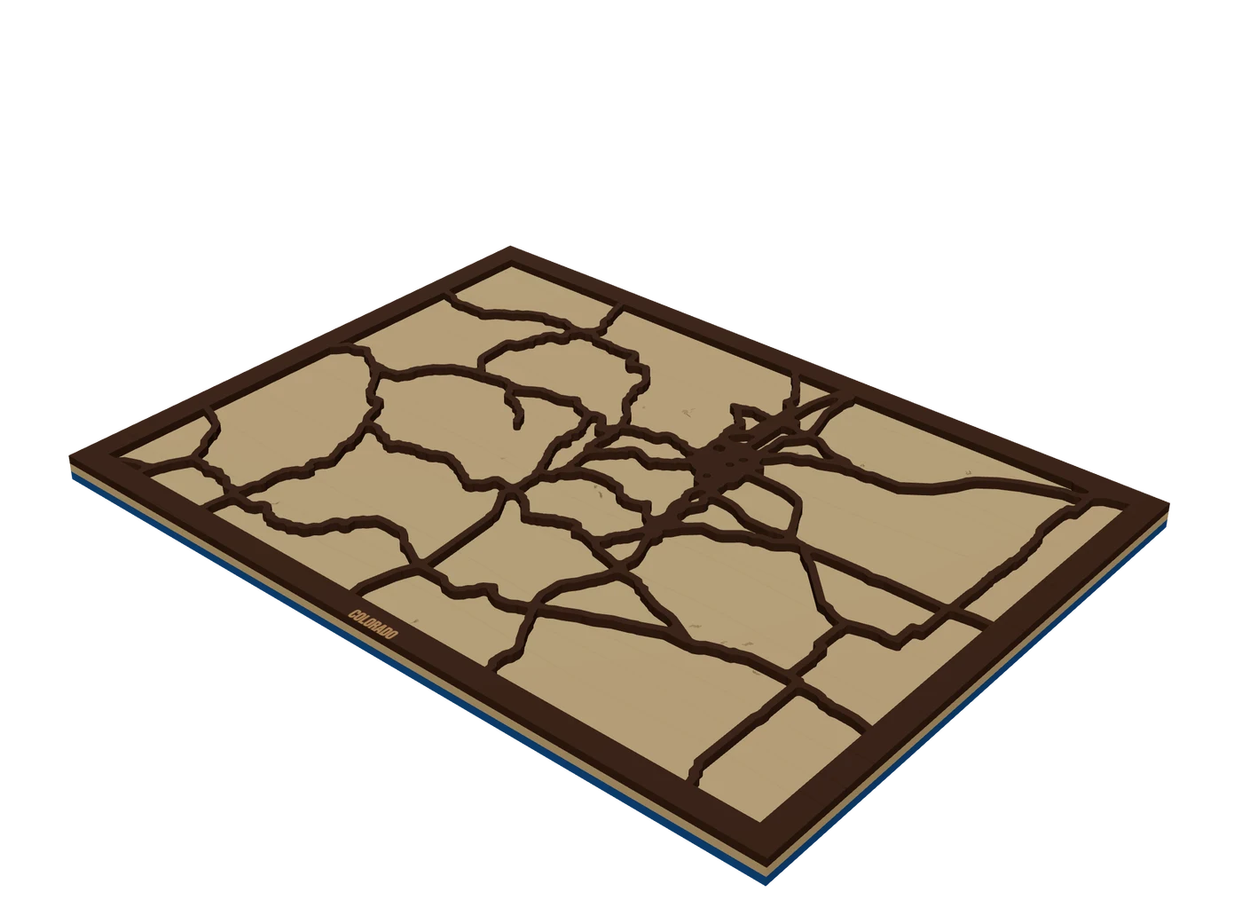 Places to mapState mapsA US state outline as the shape of the piece, with highways, lakes and a heart on the home town.
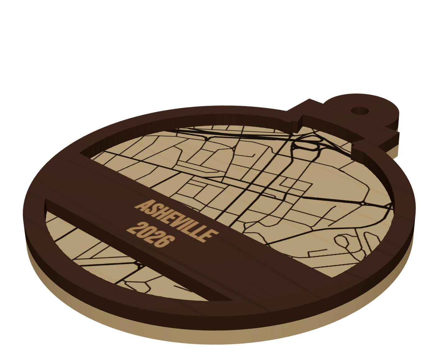 Pieces to makeMap ornamentsA 4 in layered hometown ornament with a name and a year. The map most customers buy first.
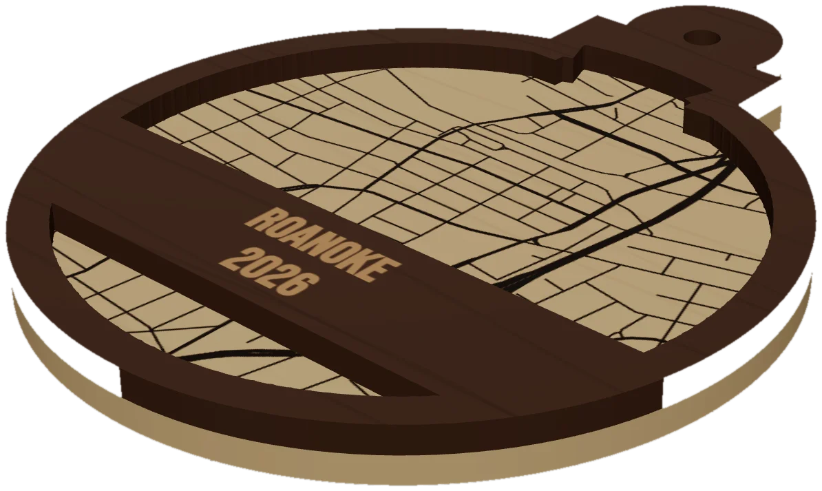 GuideWhy Map Ornaments Sell (and How to Make the Math Work)Why map ornaments sell comes down to three things: a place carries a memory, the wood costs pennies, and the season does your marketing for you. Here is the math, the calendar and the ornament ideas to sell, plus the one part of the job that quietly eats your profit.
Cut your first South Dakota piece.
Pick South Dakota as the frame, drop in the hometown, and see it in 3D before the laser does.
7 days free, then $12 a month. Cancel anytime. Or 10 maps for $10.
— more from MappSmith
Everything else this app gives you.
Free tools, libraries and guides — most of it works before you pay for anything.