Kentucky map, cut to the state line
Kentucky maps sell on horses, basketball, bourbon country and big lakes. A laser cut Kentucky map with a heart on Lexington or a Lake Cumberland cove is a gift people actually hang.
7 days free, then $12 a month. Cancel anytime. Or 10 maps for $10.
Places in Kentucky people ask for
What sells in Kentucky
Basketball and horses. Lexington is UK, and Big Blue Nation buys maps of the campus and the town. It is also horse country, and a map of the farms on the roads around town reads beautifully: long, curving lanes and fenced fields. Louisville has Churchill Downs, and a Derby map is a natural gift each spring.
Then the lakes. Lake Cumberland is houseboat country, with long coves that wind for miles. Kentucky Lake and Lake Barkley sit side by side with Land Between the Lakes in the middle, a shape people know. A lake depth map is the upgrade if the Studio has survey data.
Eastern Kentucky is mountains. Red River Gorge and the Cumberland Plateau stack well as topographic maps. Climbers know the Gorge by heart.
Bourbon country is a trip market. Visitors drive between distilleries around Bardstown, Frankfort, Versailles and Lawrenceburg, and a map of their loop with a star on each stop makes a good souvenir. Import the drive as a GPX or drop the stops as pins, and keep the frame wide enough for the whole loop. See route maps.
Making a laser cut Kentucky ornament
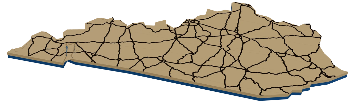
Kentucky is wide and short, with the Ohio River making the whole northern border wiggle and a straight southern line along Tennessee. The far western tip even has a separate bit along the Mississippi. At 4 in, a square frame leaves room above and below, so the outline sits low and wide.
Inside, use I-64 from Louisville through Lexington, I-65 down to Bowling Green, I-75 south from Lexington, and the big lakes as water. Lake Cumberland and Kentucky Lake both show at this size. A heart on the hometown, the name in the frame band.
A UK blue backer is the obvious pick. A bourbon-barrel walnut stain is the other one. Both sell.
For rural buyers, engrave the county under the town name.
Questions makers ask
Can I make a map of Churchill Downs?
Yes. Search the track in Louisville and zoom so the oval and the surrounding streets fit. It works well for a Derby party gift.
Does the Kentucky outline include the far western bend?
The state frame traces the largest landmass and is simplified, so tiny pieces like the Kentucky Bend may not appear. Check the outline in the Studio.
Can I make a Lake Cumberland map of my cove?
Yes. Search the marina or the cove and zoom in. The long, winding arms of the lake make a great shoreline cut.
Keep going
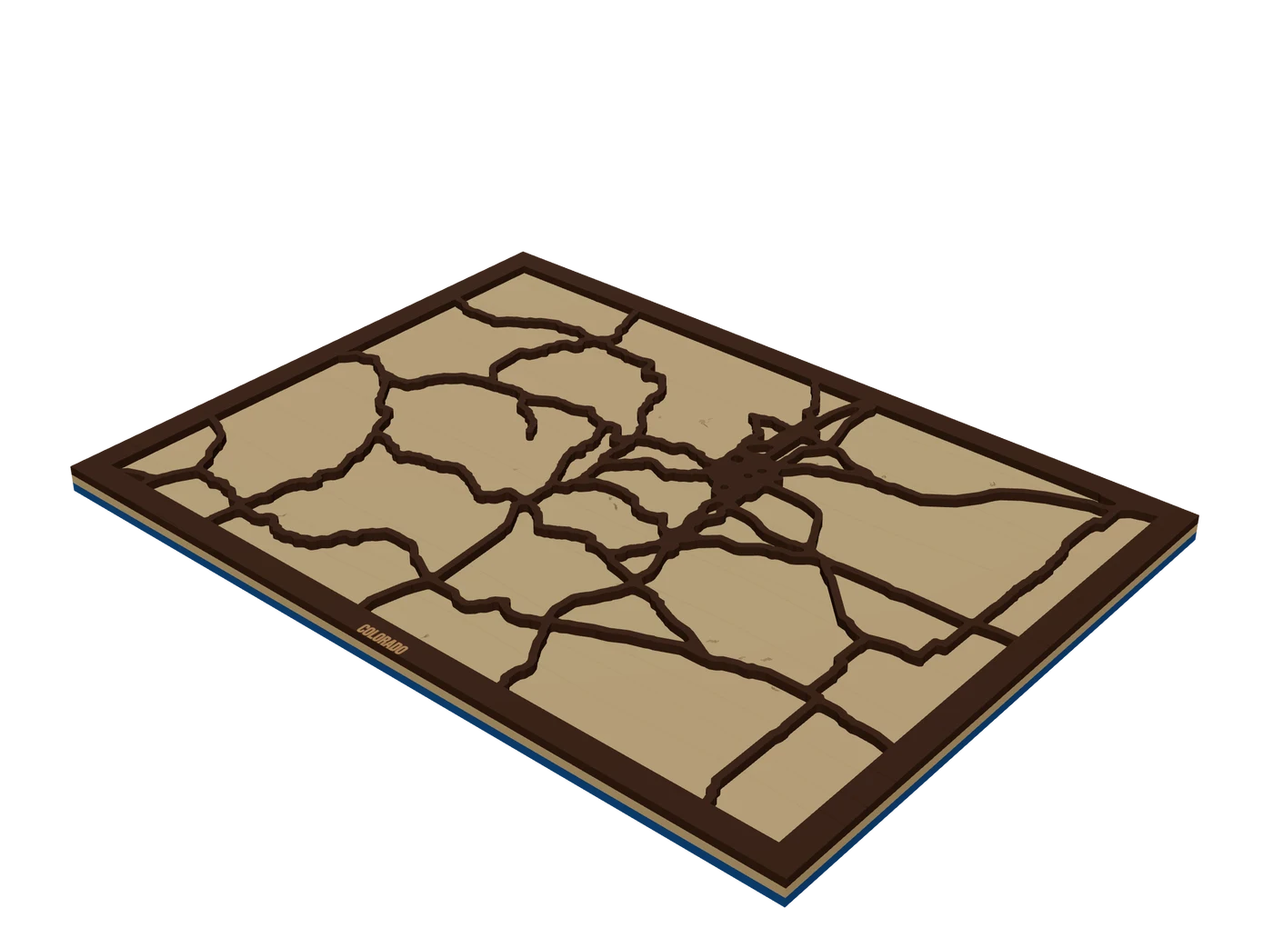 Places to mapState mapsA US state outline as the shape of the piece, with highways, lakes and a heart on the home town.
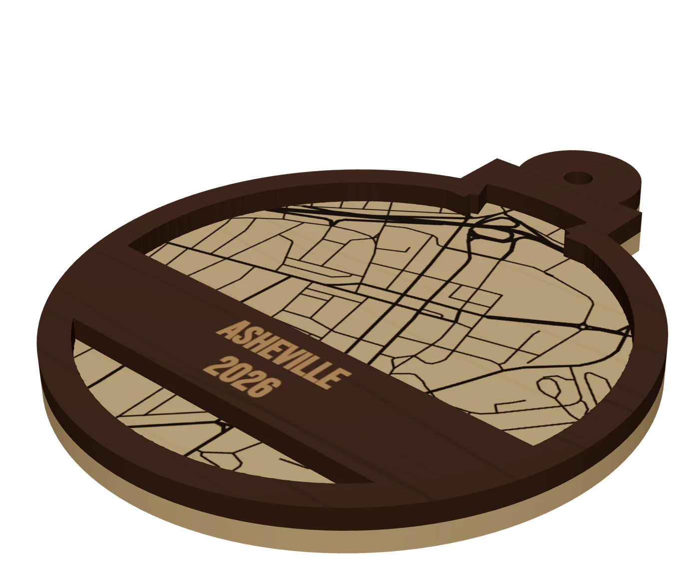 Pieces to makeMap ornamentsA 4 in layered hometown ornament with a name and a year. The map most customers buy first.
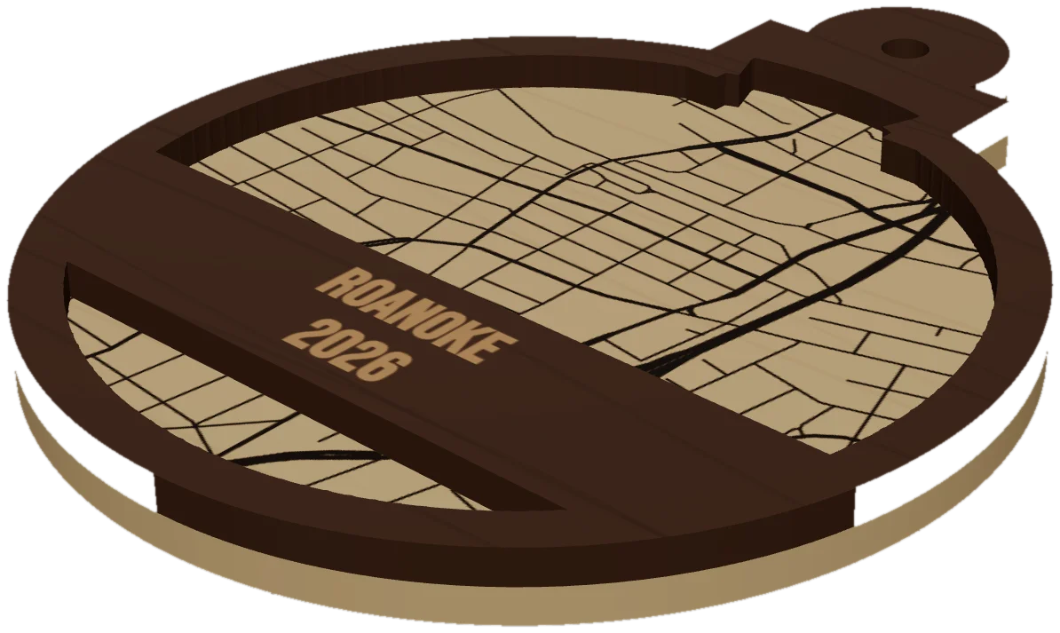 GuideWhy Map Ornaments Sell (and How to Make the Math Work)Why map ornaments sell comes down to three things: a place carries a memory, the wood costs pennies, and the season does your marketing for you. Here is the math, the calendar and the ornament ideas to sell, plus the one part of the job that quietly eats your profit.
Cut your first Kentucky piece.
Pick Kentucky as the frame, drop in the hometown, and see it in 3D before the laser does.
7 days free, then $12 a month. Cancel anytime. Or 10 maps for $10.
— more from MappSmith
Everything else this app gives you.
Free tools, libraries and guides — most of it works before you pay for anything.