Lake Depth Maps Explained: Bathymetry for Laser Makers
A lake depth map turns the bottom of a lake into stacked layers you can see and touch: shallow water near the shore, the deep hole in the middle. It is one of the most loved map gifts, and one of the easiest to get backwards. Here is how bathymetry works and how to stack it right.
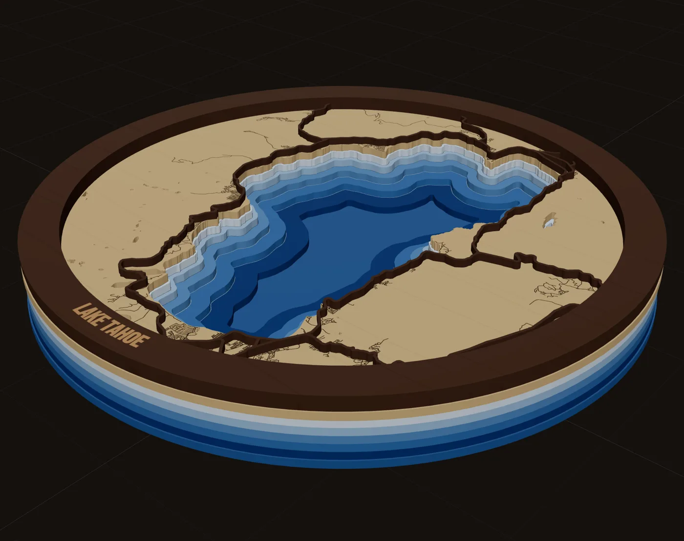
What a lake depth map shows
Bathymetry is the measurement of depth under water. It is the topographic map of a lake bed. Survey crews take soundings (depth readings) across the lake, and those readings are turned into contour lines: a line where the bottom is 10 ft down, another at 20 ft, and so on.
A laser lake depth map uses those contours as cut lines. Each contour becomes the edge of a layer. Stack the layers and the lake bed steps down from the shoreline to the deepest point, so the shape of the bottom is something you can see from across the room.
Lake owners connect with their lake strongly. The shoreline reads instantly to anyone who has spent a summer on it, and the deep hole is the spot every angler already knows about. That is why lake maps are a deep gift niche, and why each lake is its own small market.
Where depth data comes from
Depth is not part of ordinary street map data. OpenStreetMap has shorelines but not lake beds. Depth comes from surveys, and in the US those are published lake by lake, not as one national dataset.
- The Great Lakes. NOAA publishes bathymetry for the Great Lakes, including contour files for several of them.
- State agencies. Some state natural resource departments publish lake survey contours. Minnesota's DNR publishes bathymetric outlines and contours for its surveyed lakes as a free download.
- Paper and PDF charts. Many fishing charts exist only as images. Tracing them by hand is how a lot of early builds were made, and you should check the publisher's terms before selling pieces made from them.
Coverage is uneven. Some states publish no vector contours at all, and small private lakes are rarely surveyed. Plan for that before you promise a customer "any lake."
How MappSmith handles it
MappSmith uses real depth soundings from public lake surveys where they exist (Surveyed). For a lake with no published survey it shapes the bed from the shoreline (Simulated) and marks it Estimated, so you never pass a guess off as a survey. You can type the real deepest point in feet to rescale the whole bed, and choose a bed shape such as a gentle bowl, steep sides, or a ledge and drop. If a survey's contours don't close into cuttable shapes, the Studio switches to Simulated and tells you.
How many depth bands to cut
More bands means a smoother slope but a taller stack, more sheets and more glue-up. The right count depends on the lake, the size of the piece and your stock thickness.
| Bands | Lake stack at 3mm per band | Good for |
|---|---|---|
| 3 | 9mm | Ornaments, coasters, small shallow lakes |
| 5 | 15mm | Most wall pieces around 11x14 to 16x20 |
| 8 | 24mm | Deep lakes with a clear drop-off |
| 12 | 36mm | Large statement pieces with a real bowl |
- Space the thresholds by the lake, not by round numbers. A shallow lake with a deep hole needs more bands near the bottom. Use the lake's own surveyed levels.
- Stop short of the maximum. A band means "deeper than D." Set one at the very deepest point and it encloses nothing, so you cut an empty sheet.
- Drop tiny islands. Little holes and islands at depth burn away or fall out. Set a smallest-piece limit and lose them.
MappSmith's lake depth card builds 3, 5, 8 or 12 bands in one step, with thresholds taken from the lake's surveyed levels, and allows up to 16 water layers if you set them yourself. Each band stays its own editable layer.
Stacking order: the inverted lake mistake
This is where many first lake maps go wrong. People who have built a topographic map stack the contours the same way: each contour line becomes an island piece, glued on top of the last. On a mountain that is right. On a lake it is backwards. The deepest water ends up as the highest point, the shoreline sits lowest, and the lake looks like a hill.
Think of depth as negative height. The lake is a bowl, so each layer is a sheet with a hole in it, and the holes get smaller as you go down.
- Backer (bottom)A solid sheet. It shows only through the deepest hole, so it gets the darkest color.
- Deep bandA sheet with the area deeper than your deepest threshold cut out. Small hole.
- Middle bandsEach one up, the hole grows to the next shallower contour.
- Shallow bandThe hole is just inside the shoreline. The lightest blue.
- Land (top)The whole lake cut out along the shoreline, with streets and the name on top.
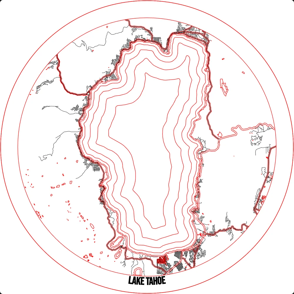
Look down into the finished piece and it steps down from the shore to the deep spot, darker as it goes, just like the water. MappSmith builds the stack in this order: the deepest sheet sits lowest and acts as the backer, and your street map stays on top unchanged. Turn on glue guides and each layer gets a light line showing where the next one sits.
Color: light at the shore, dark in the deep
Depth reads best as a gradient. Shallow water is light blue, deep water is dark. You can get that three ways.
| Method | How | Watch out for |
|---|---|---|
| Colored acrylic | One shade of blue acrylic per band, light to dark | Matching shades across orders; buy enough of each |
| Stained wood | Water-based blue stain, diluted per layer (for example 1 part stain to 2 parts water), darkest at the bottom | Test on scrap. You can add color but not take it away |
| Contrasting woods | Lighter species near the top, cheaper or darker ply below | Less "water" look, more natural wood look |
The top couple layers are Proofgrade Medium Maple Plywood, and the rest are Home Depot 1/4 inch plywood, b/c they are supposed to represent a bigger drop in depth (nothing to do with it being dirt cheap…)
A maker's Lake Murray bathymetric map, Glowforge owners forum
MappSmith's lake depth preset sets every band to blue acrylic in the 3D preview and shades them light to dark by rank, so you can show a customer the gradient before you cut. Preview colors only change the look on screen; your files are the same.
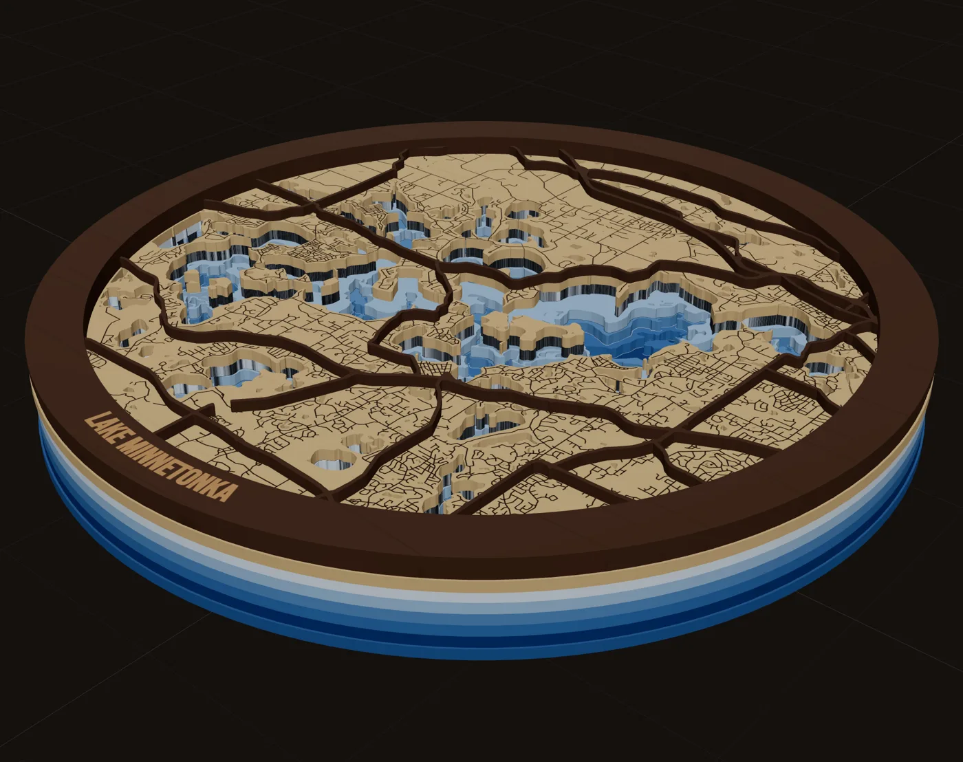
Finishing a lake depth map
- Mask before cutting the light top layers to keep char off the shoreline edges.
- Use MDF for a painted water base. One maker warns that thin plywood tends to warp when painted on one side.
- Wipe, then prime, before paint. Laser residue wipes off with rubbing alcohol, and primer seals the wood so paint bonds.
- Glue sparingly. Brush glue on the back, away from the cut edges, and press under weight with wax paper. Clamps squeeze out more glue than you expect.
- Consider resin. One maker filled each lake cutout with resin, sanded it, and engraved the depth numbers, so they look like they float in the water.
- Label the depth. A max-depth line in the frame band turns a pretty map into a chart the owner will point at.
For more on stain, resin and glue-up, see premium map finishing. For the lake product itself, see lake depth maps.
Questions makers ask
What is a bathymetric map?
A map of depth under water. Survey readings of a lake bed are turned into contour lines at set depths, the same way a topo map shows height on land.
Why does my laser lake map look like a hill?
The layers are stacked like a topo map. On a lake each layer should be a sheet with a hole cut in it, holes getting smaller as you go down, with a solid backer at the bottom.
How many layers should a lake depth map have?
Five is a good default for wall pieces. Three suits small pieces and shallow lakes; 8 to 12 suits large pieces of deep lakes. More layers mean a taller stack and more glue-up.
What if my lake has no depth survey?
You can model the bed from the shoreline and the known max depth. MappSmith does this and marks the result Estimated, so you can tell your customer it is a model, not a survey.
What color should the water layers be?
Light blue at the shore, darkest at the deepest point. Use shades of blue acrylic, or diluted blue stain on wood, and test on scrap first.
Updated 2026-10-17
Sources (8)
- NOAA NCEI: Great Lakes bathymetry
- Minnesota DNR: lake bathymetric outlines, contours and DEM
- Glowforge forum: Bathymetric map of Lake Murray, South Carolina
- Glowforge forum: Lake depth chart (resin-filled layers)
- The Shamblog: making a laser cut topo map, the build phase
- The Handyman's Daughter: laser cut city map in LightBurn
- Graphics Pro: Try this laser, a lake relief map
- HackSpace: DIY illuminated waterways map
Read next
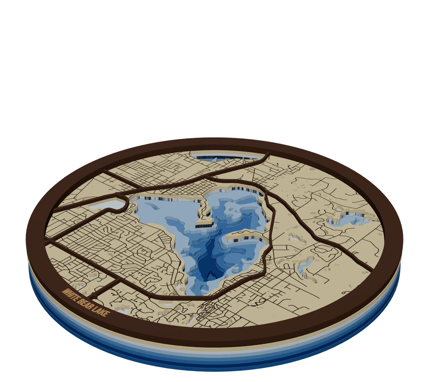 Places to mapLake depth mapsBathymetric lake maps: real depth surveys split into bands, cut down layer by layer in shades of blue.
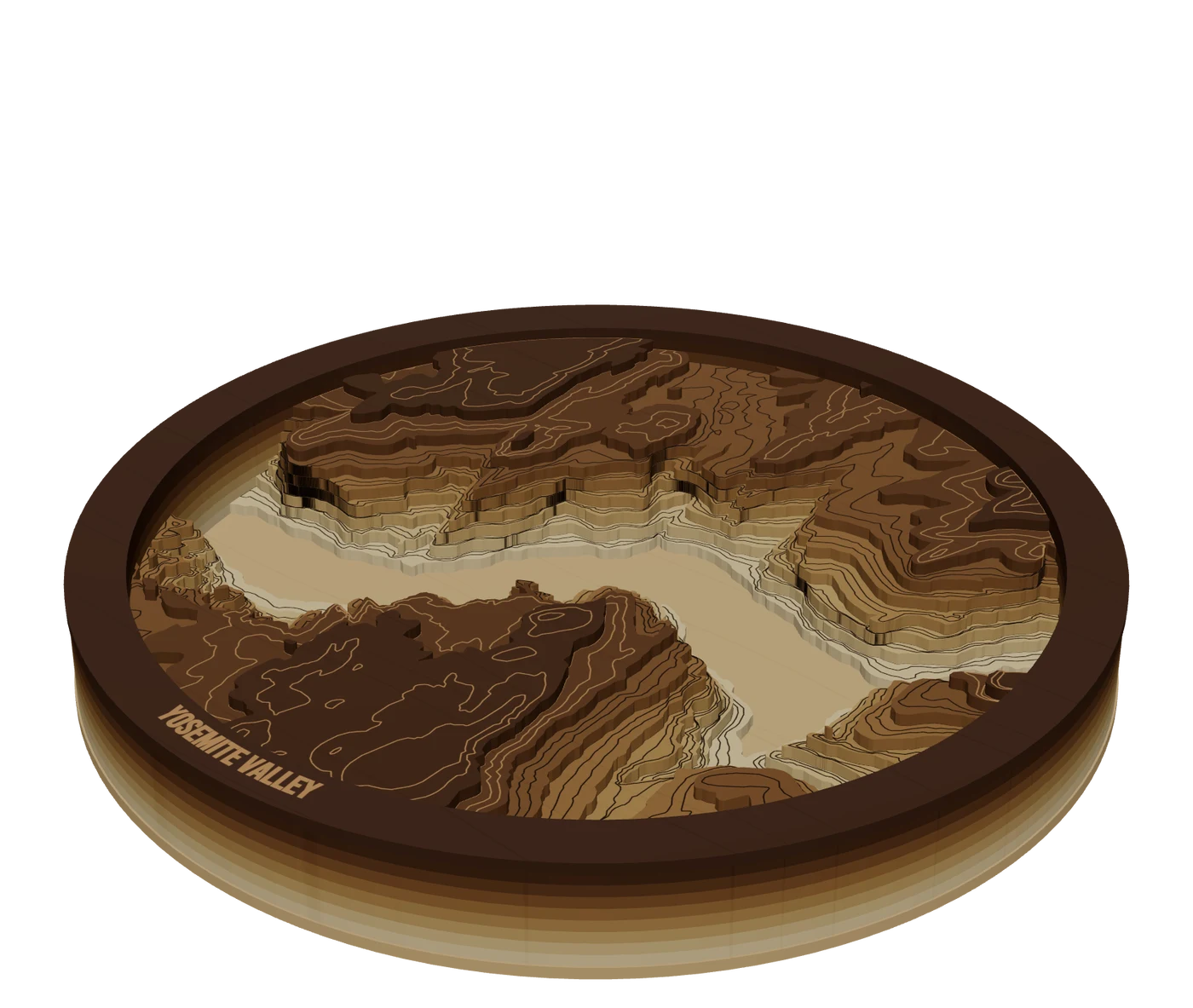 Places to mapTopographic mapsReal elevation data split into levels, so mountains build up in stacked layers you cut and glue.GuidePremium Map Finishing Techniques for Laser Cut MapsThese map finishing techniques are what separate a craft-fair map from one that sells framed. Masking, color, water, glue, edges and lighting each add a little. Some advice here comes from published tutorials, some from forum makers; we mark which is which. Test everything on scrap first.
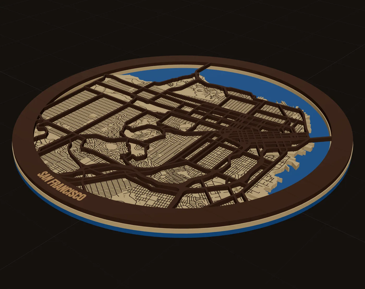 GuideHow to Make a Laser Cut Map: The Free Way and the Fast WayThis is how to make a laser cut map that holds together, reads at a glance and sells. We cover the free manual route with OpenStreetMap and vector software, the faster route in MappSmith, and everything after the file: crop, layers, wood, settings, glue and finishing. Use whichever route fits your shop. The craft is the same.
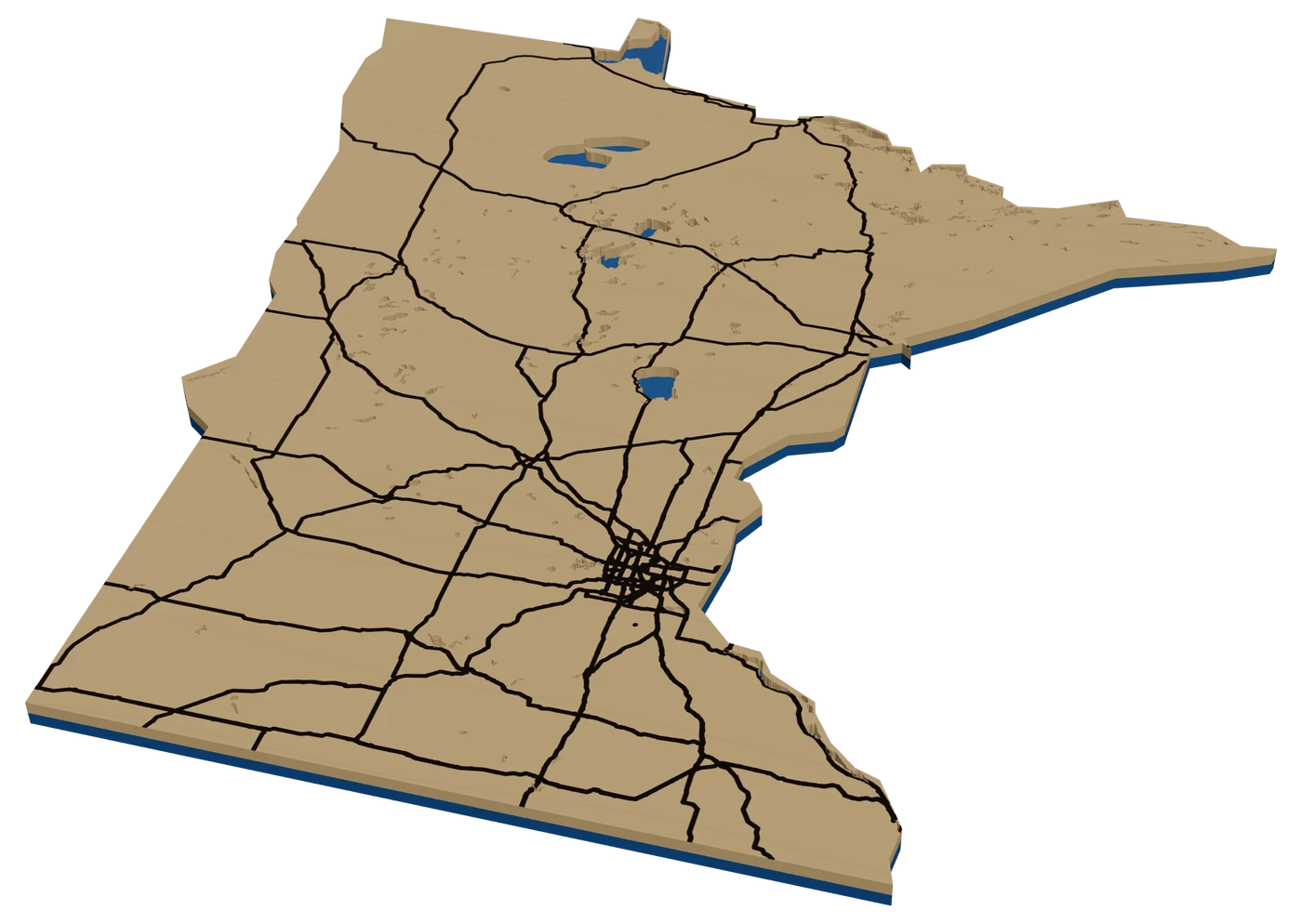 StateMinnesota mapThe license plate says 10,000 Lakes, and every family seems to have one of them. A laser cut Minnesota map with a heart on the cabin, or a depth map of the lake itself, is the most Minnesotan gift you can make.
 GuideOpenStreetMap Attribution for Products You SellIf your map pieces use OpenStreetMap streets, you can sell them. You just need to credit the data. This is a short, practical guide to OpenStreetMap attribution for products: what to write, where to put it, and what the license does and doesn't ask of you.
Turn this into a file you can cut.
Every step above happens in one browser tab. Try it on your own hometown.
7 days free, then $12 a month. Cancel anytime. Or 10 maps for $10.
— more from MappSmith
Everything else this app gives you.
Free tools, libraries and guides — most of it works before you pay for anything.