Mississippi map, cut to the state line
Mississippi buyers are loyal to their town and loyal to their team. A laser cut Mississippi map with a heart on Oxford, Starkville or a Gulf Coast porch is a gift with a lot of home in it.
7 days free, then $12 a month. Cancel anytime. Or 10 maps for $10.
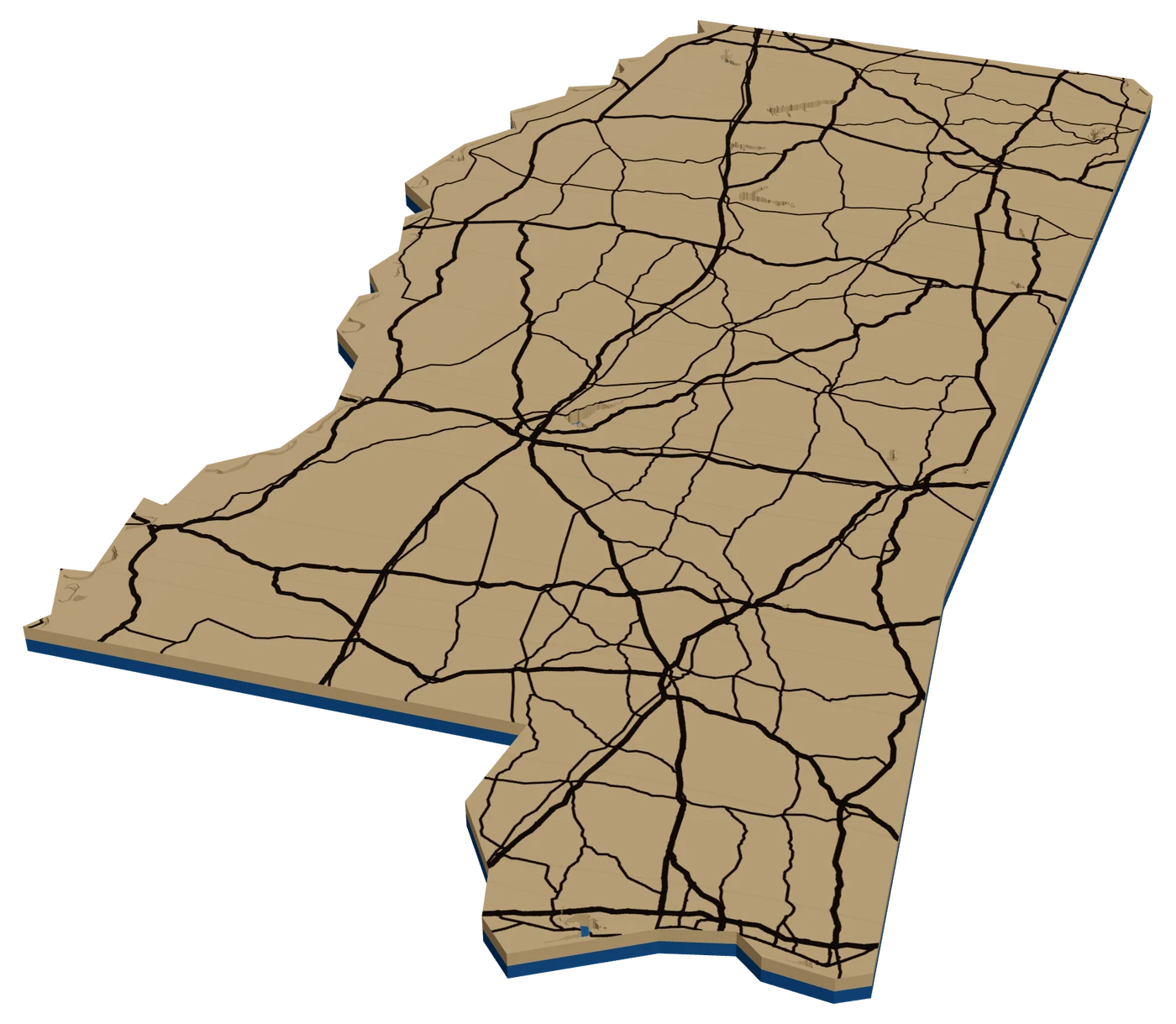
Places in Mississippi people ask for
What sells in Mississippi
Oxford and Starkville carry the state. The Square in Oxford and the Grove on campus make a great city street map: small, walkable and full of memories. Starkville buyers want the stadium blocks and the first apartment. The Egg Bowl rivalry means you sell both towns.
The Gulf Coast is next. Ocean Springs, Bay St. Louis, Pass Christian and Biloxi each have families with deep roots and visitors who come back. Keep the Sound as its own water layer and the beach road as the edge.
Then the long routes. The Natchez Trace Parkway runs out of the state toward Nashville, and cyclists and drivers who did the whole thing want the line. Import the GPX and engrave it across the outline. See route maps.
Blues travelers are a quieter market. The Delta, Clarksdale and the towns along Highway 61 draw music fans from around the world, and a route map of the drive down 61 with stars on each stop is the souvenir they want. It also works for anyone who grew up in the Delta and moved away.
Making a laser cut Mississippi ornament
Mississippi is tall, with the river making the whole western edge wavy and a short Gulf coast at the bottom right. At 4 in, the state fills the height nicely. Inside, use I-55 from Memphis down through Jackson, I-20 across the middle, I-10 along the coast, and the Mississippi River as the west edge. A heart on the hometown.
The coast needs a check. The state frame is simplified, so towns right on the water can land on or just past the edge. In our check Gulfport and Ocean Springs fell inside but Biloxi did not, and the barrier islands are outside. Check the outline in the Studio for any coastal pin.
Navy and red for Ole Miss, maroon for State. Sell the pair together as a house-divided set.
Questions makers ask
Can I put Oxford and Starkville on the same ornament?
Yes. Drop a heart on each town. It is a popular gift for households where the Egg Bowl is a family argument.
Is Biloxi inside the Mississippi outline?
Not in our check. The coast is simplified, so towns right on the water can sit just outside the frame. Check in the Studio, or use a round frame for coastal towns.
Can I map the whole Natchez Trace?
Yes. Import a GPX of the parkway and frame it in a tall rectangle. The route continues into Alabama and Tennessee, so a state outline only shows part of it.
Keep going
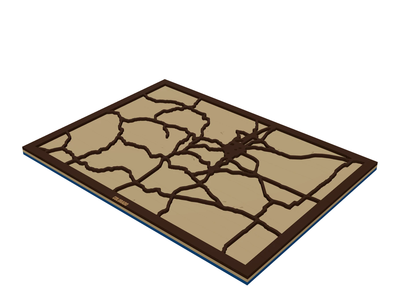 Places to mapState mapsA US state outline as the shape of the piece, with highways, lakes and a heart on the home town.
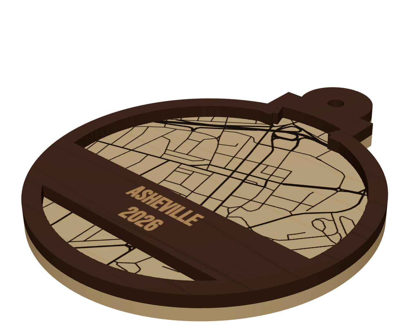 Pieces to makeMap ornamentsA 4 in layered hometown ornament with a name and a year. The map most customers buy first.
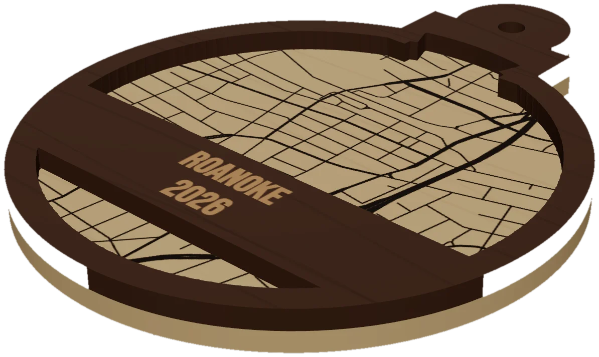 GuideWhy Map Ornaments Sell (and How to Make the Math Work)Why map ornaments sell comes down to three things: a place carries a memory, the wood costs pennies, and the season does your marketing for you. Here is the math, the calendar and the ornament ideas to sell, plus the one part of the job that quietly eats your profit.
Cut your first Mississippi piece.
Pick Mississippi as the frame, drop in the hometown, and see it in 3D before the laser does.
7 days free, then $12 a month. Cancel anytime. Or 10 maps for $10.
— more from MappSmith
Everything else this app gives you.
Free tools, libraries and guides — most of it works before you pay for anything.