Maryland map, cut to the state line
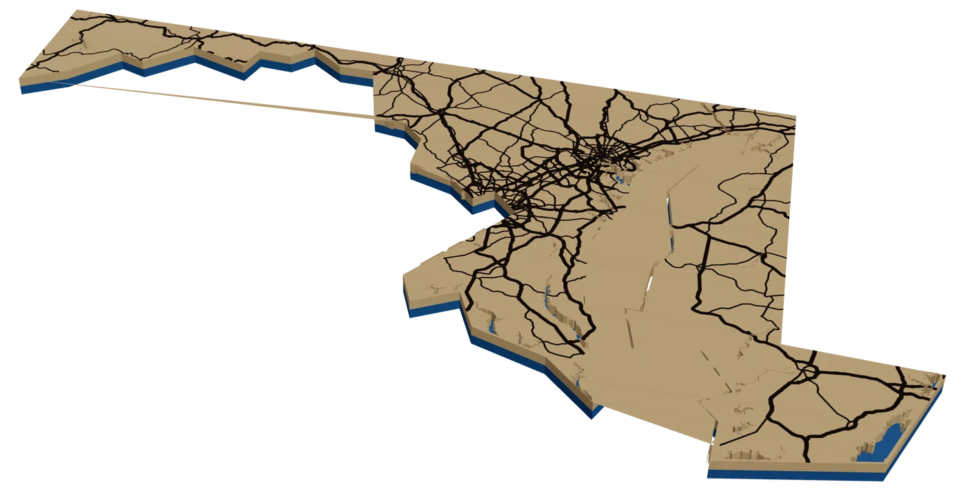
Maryland is all about the Chesapeake. A laser cut Maryland map with the Bay cut as its own water layer, a heart on Annapolis or a Baltimore rowhouse block, and a crab-red backer is very hard to beat.
7 days free, then $12 a month. Cancel anytime. Or 10 maps for $10.
Places in Maryland people ask for
What sells in Maryland
The Bay is the identity. Annapolis, St. Michaels, Oxford, Kent Island and the creeks off the Severn and the Magothy all have boaters and waterfront families. Shorelines here are a maze of creeks and points, which looks great cut. Keep the water on its own layer and let the backer show through.
Baltimore sells by neighborhood. Fells Point, Canton, Federal Hill, Hampden. The Inner Harbor gives any downtown city street map a natural centerpiece.
Then summer: Ocean City for the beach crowd and Deep Creek Lake for the mountain lake crowd. Deep Creek is a strong lake depth map candidate if the Studio has survey data for it.
Bay families often want their creek, not their town. In Solomons, Deale, Rock Hall and the Eastern Shore, the dock and the water out front are the memory. Zoom in until the creek fills the frame. A tidal creek shoreline is busy, which is exactly what makes it look good cut.
Making a laser cut Maryland ornament
Maryland has the strangest outline in the East: a long thin arm reaching west into the mountains, the Chesapeake cutting the state almost in two, and the Eastern Shore on the other side. It is a fun shape and a hard one to fill. At 4 in, the western arm gets very thin. Consider 5 in.
Inside, the Bay is the whole design. Let it be the water layer and add only I-95 between Baltimore and DC and US-50 across the Bay Bridge. A heart on the town.
The outline is simplified, so Ocean City, which sits on a barrier island, fell outside the frame in our check. Check the outline in the Studio. For an OC buyer, a round ornament of the boardwalk works better. A red backer reads as Old Bay and steamed crabs. Black and gold reads as the state flag.
Questions makers ask
Is Ocean City inside the Maryland outline?
Not in our check. Ocean City is on a barrier island and the outline is simplified. Check in the Studio, and use a round frame for a beach town.
What size Maryland ornament should I make?
Consider 5 in. The western panhandle gets very thin at smaller sizes, and the Bay needs room to read.
Can I make an Annapolis harbor map?
Yes. Zoom to the harbor, the Academy and Ego Alley. The creeks and the Severn make a striking water layer.
Keep going
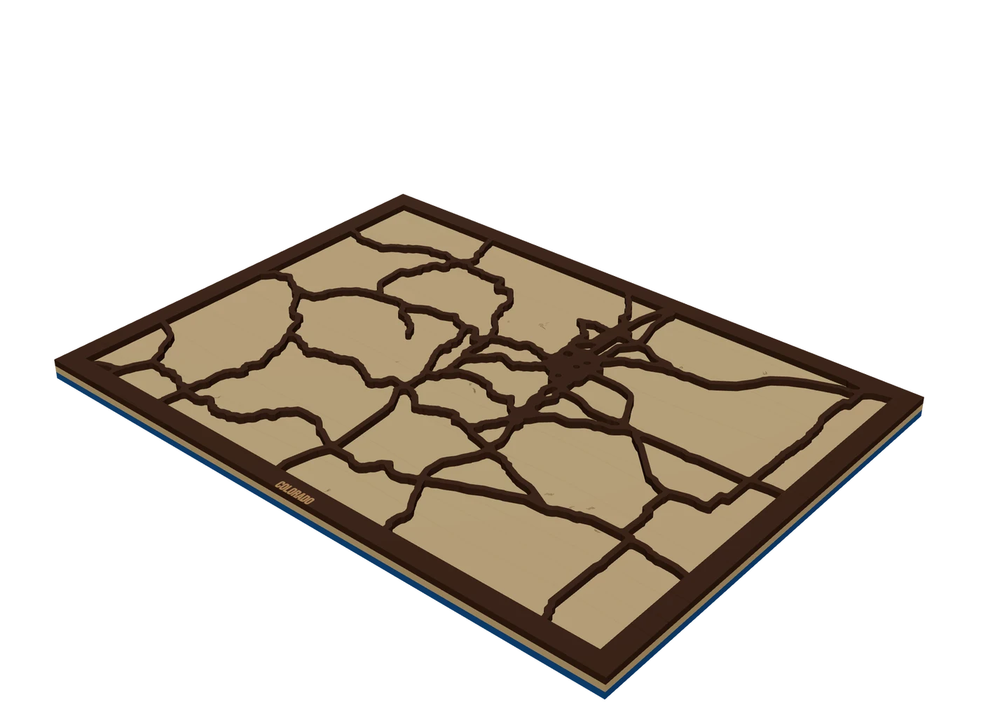 Places to mapState mapsA US state outline as the shape of the piece, with highways, lakes and a heart on the home town.
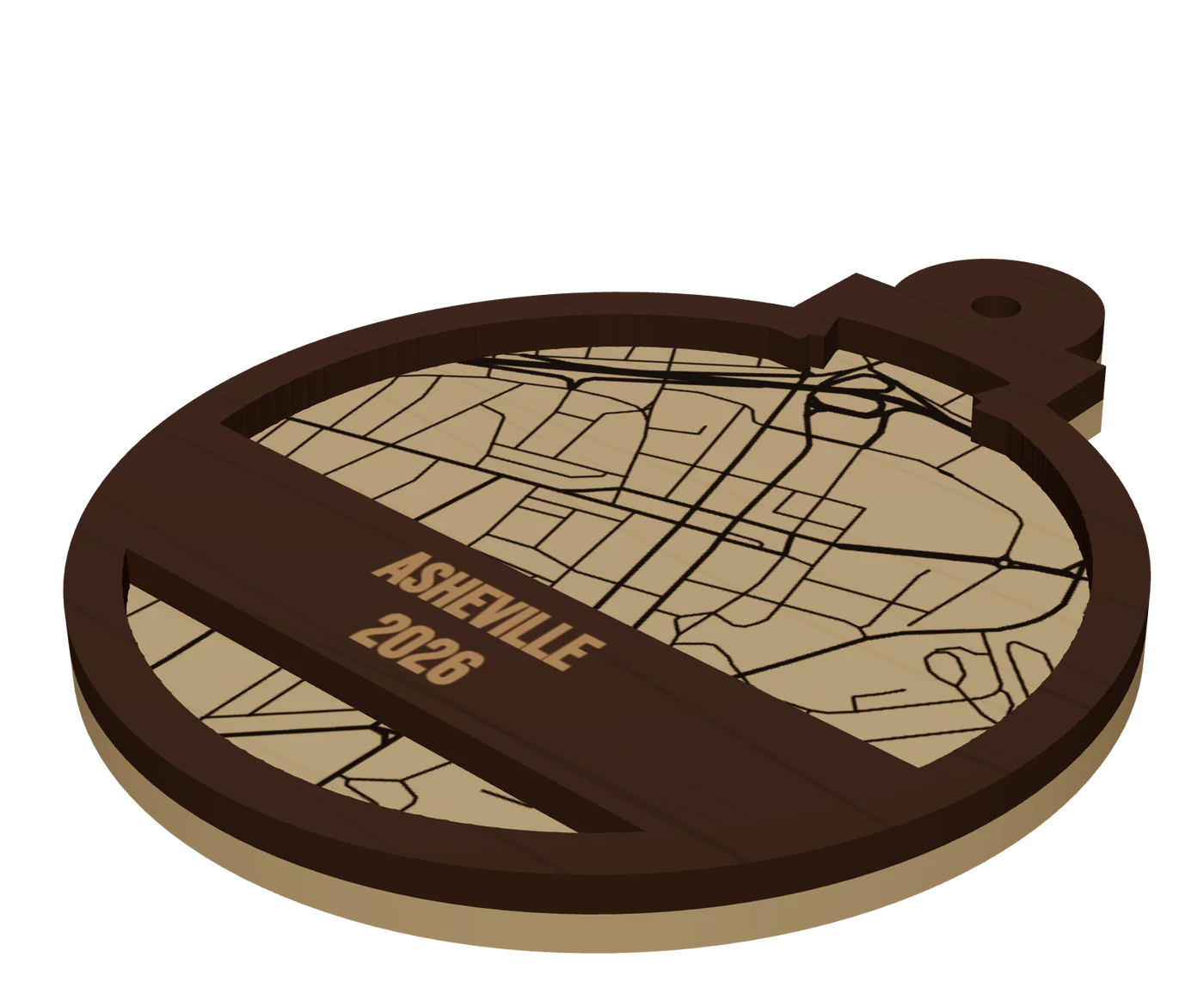 Pieces to makeMap ornamentsA 4 in layered hometown ornament with a name and a year. The map most customers buy first.
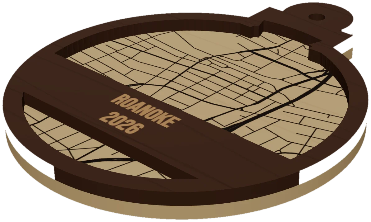 GuideWhy Map Ornaments Sell (and How to Make the Math Work)Why map ornaments sell comes down to three things: a place carries a memory, the wood costs pennies, and the season does your marketing for you. Here is the math, the calendar and the ornament ideas to sell, plus the one part of the job that quietly eats your profit.
Cut your first Maryland piece.
Pick Maryland as the frame, drop in the hometown, and see it in 3D before the laser does.
7 days free, then $12 a month. Cancel anytime. Or 10 maps for $10.
— more from MappSmith
Everything else this app gives you.
Free tools, libraries and guides — most of it works before you pay for anything.