Colorado map, cut to the state line
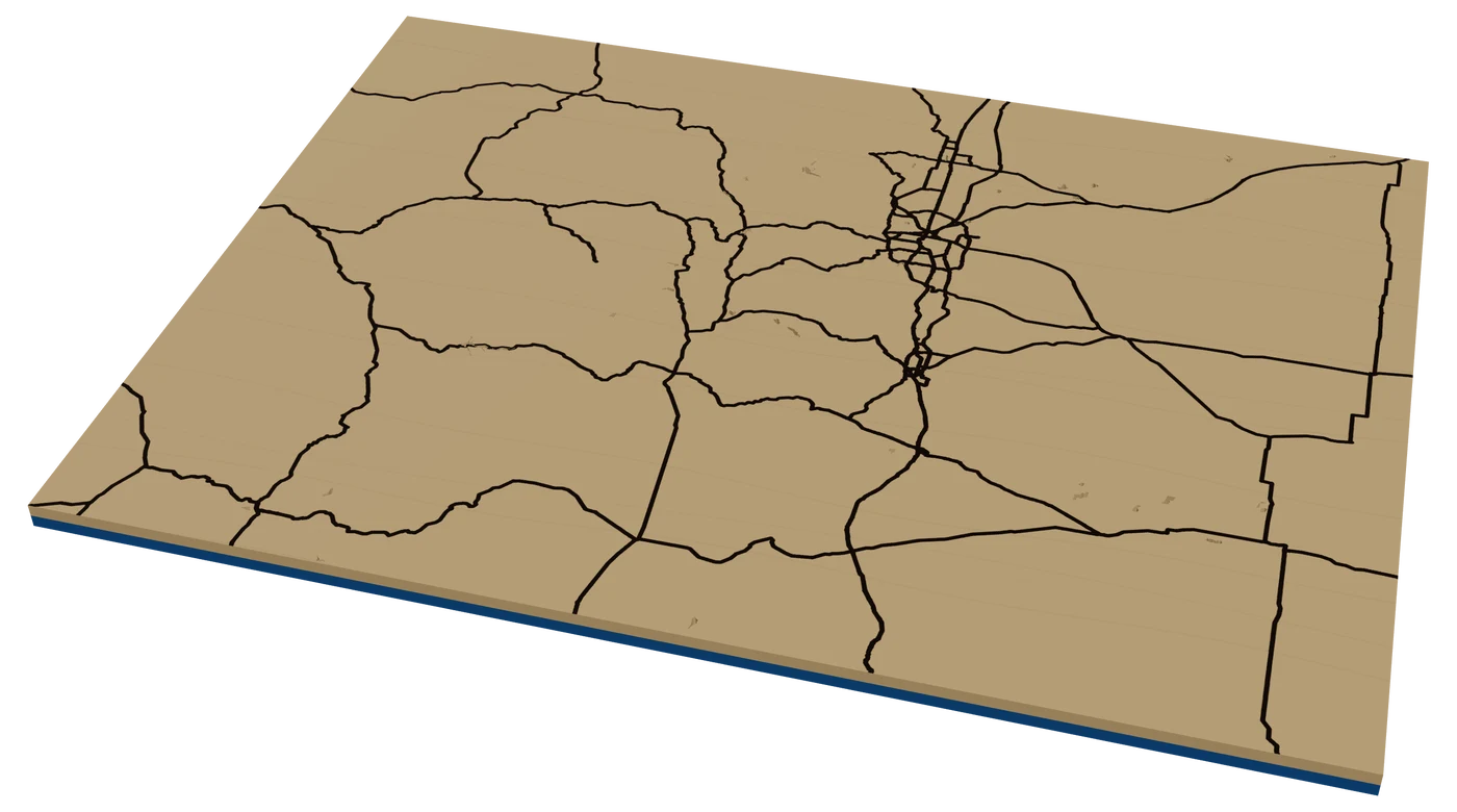
Colorado maps are mountain maps. A laser cut Colorado map with the Front Range stacked in elevation, a ski town street grid, or a rectangle ornament with a heart on Denver all sell to people who love the place.
7 days free, then $12 a month. Cancel anytime. Or 10 maps for $10.
Places in Colorado people ask for
What sells in Colorado
Mountains, then ski towns, then everything else. Colorado buyers hang terrain. A topographic map of the Front Range, the Maroon Bells or a favorite fourteener sells to hikers who already know every switchback. Hikers also like their route on it: import the GPX track from the climb and engrave it over the elevation levels.
Ski towns are their own category. Breckenridge, Vail, Aspen, Telluride, Steamboat and Crested Butte all have small, dense downtowns that read well as city street maps. Second-home owners and season-pass people buy them every winter.
And then the transplants. A lot of people moved to Denver, Boulder and the suburbs as adults. A two-place piece with home and the old hometown is an easy pitch.
Mountain towns also have a busy holiday market season, and visitors buy small pieces that fit in a suitcase. Ornaments, coasters and key holders with the ski town on them are the right size. Cut a few common towns ahead and personalize the name in the frame band at the booth.
Making a laser cut Colorado ornament
Colorado is a rectangle, which sounds boring and is actually a gift: the outline reads instantly and leaves the whole inside for content. At 4 in, try terrain instead of roads. A few elevation levels showing the mountains in the west and the plains in the east is the most Colorado thing you can cut.
If you go with roads, keep it to I-25 down the Front Range and I-70 west through the mountains. A heart on the town, the name in the frame band, and a contrasting backer. Dark walnut behind birch reads like a ridgeline at dusk.
Because the shape is so plain, Colorado is also good for small runs. A rectangle frame with a heart on the town is quick to personalize at a craft fair.
If the buyer asks, engrave the town's elevation under the name. It is a very Colorado detail.
Questions makers ask
Can I make a Colorado ornament with real mountains?
Yes. Turn on elevation in the Studio and split it into a few levels. At 4 in, two or three levels is enough to show the mountains against the plains.
Can I add my hiking route to a fourteener map?
Yes. Import a GPX file from your watch or app and it becomes a line you can engrave or score over the terrain. See route maps.
Which Colorado ski towns make good maps?
The ones with compact downtowns: Breckenridge, Vail, Aspen, Telluride, Steamboat and Crested Butte. Zoom so the main street and the base of the mountain both fit.
Keep going
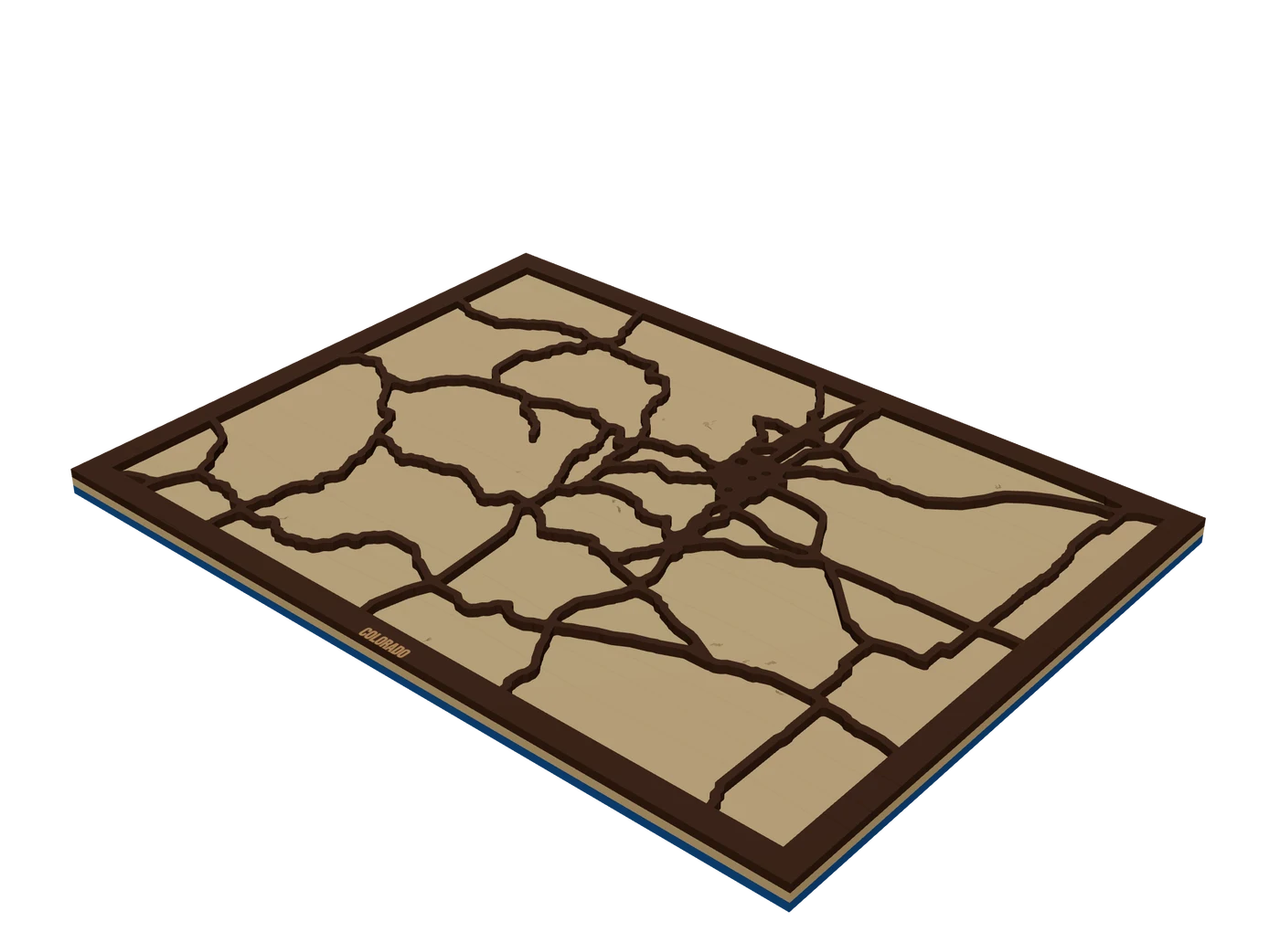 Places to mapState mapsA US state outline as the shape of the piece, with highways, lakes and a heart on the home town.
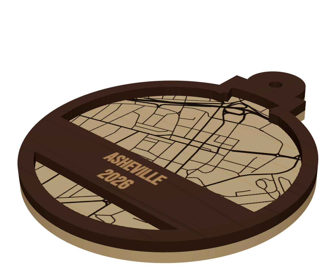 Pieces to makeMap ornamentsA 4 in layered hometown ornament with a name and a year. The map most customers buy first.
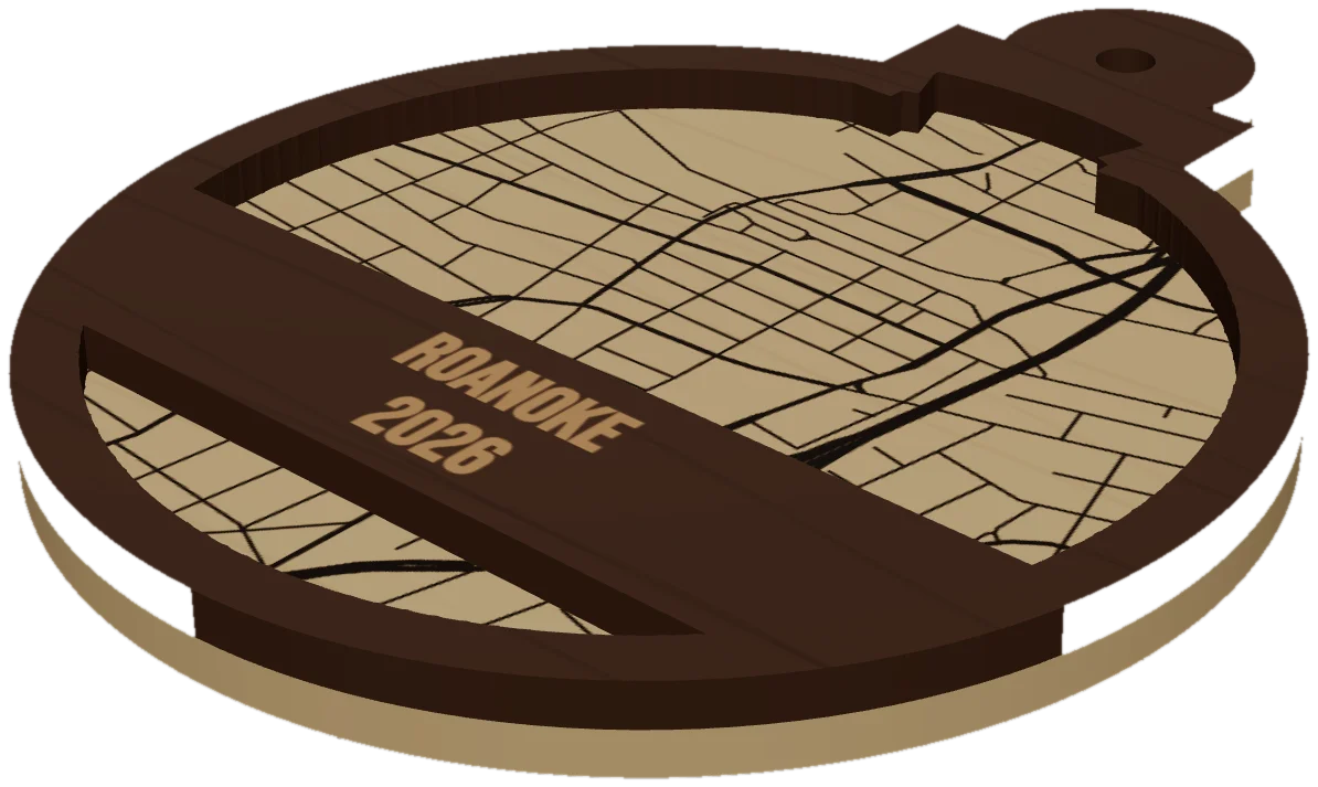 GuideWhy Map Ornaments Sell (and How to Make the Math Work)Why map ornaments sell comes down to three things: a place carries a memory, the wood costs pennies, and the season does your marketing for you. Here is the math, the calendar and the ornament ideas to sell, plus the one part of the job that quietly eats your profit.
Cut your first Colorado piece.
Pick Colorado as the frame, drop in the hometown, and see it in 3D before the laser does.
7 days free, then $12 a month. Cancel anytime. Or 10 maps for $10.
— more from MappSmith
Everything else this app gives you.
Free tools, libraries and guides — most of it works before you pay for anything.