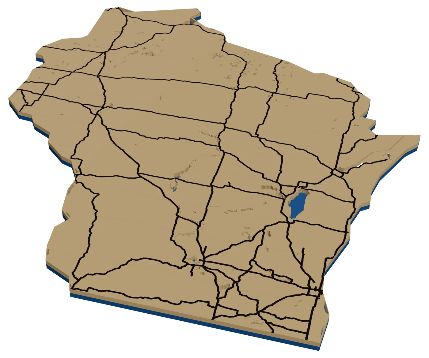
Wisconsin map, cut to the state line
Wisconsin buyers want the lake up north, the Packers, or Madison between its two lakes. A laser cut Wisconsin map with a heart on any of those, or on a Door County cottage, is a gift that lands.
7 days free, then $12 a month. Cancel anytime. Or 10 maps for $10.
Places in Wisconsin people ask for
What sells in Wisconsin
Lakes up north. Wisconsin has deep cabin culture, and families go "up north" to the Northwoods around Minocqua, Eagle River and Hayward every summer. Zoom in on their bay. A lake depth map is the premium version where the Studio has survey data. Lake Geneva in the south is its own market, with old summer houses on the shore path.
Madison is one of the best city maps you can cut. The isthmus between Mendota and Monona, with the Capitol in the middle, is a shape people recognize. A city street map with both lakes as water layers is a strong UW gift.
Then the Packers and the golf. A map of Lambeau and the streets around it sells to fans everywhere. Whistling Straits, Erin Hills, Sand Valley and Kohler bring golfers who want the course. See golf course maps.
The Dells and the Wisconsin River are a family vacation market, and Milwaukee sells by neighborhood: Bay View, the Third Ward, Washington Heights. Small-town craft fairs are a good outlet for ready-made hometown ornaments too.
Making a laser cut Wisconsin ornament
Wisconsin's outline has Door County as a thumb sticking up into Lake Michigan, the Mississippi and St. Croix along the west, and the Lake Superior shore up top. It fills a 4 in square well. Inside, use I-94 from Milwaukee through Madison toward the Twin Cities, I-43 up the lakeshore to Green Bay, I-39 north, and Lake Winnebago as a water piece. Winnebago shows clearly at this size.
A star on home and a heart on the cabin is the classic Wisconsin layout.
Island check: the Apostle Islands and Washington Island fell outside the simplified outline in our check, and so did Bayfield on the Superior shore. Door County was inside. Check the outline in the Studio. Green and gold, or red and white. Offer both.
Questions makers ask
Is Door County inside the Wisconsin outline?
Yes, the peninsula is part of the main landmass. Washington Island at the tip and the Apostle Islands fell outside it in our check.
Can I make a Madison map with both lakes?
Yes. Zoom to the isthmus and both lakes come in as water layers. Cut them out and let a blue backer show through.
Can I put home and our up north cabin on one Wisconsin ornament?
Yes. A star on home and a heart on the cabin both read clearly at 4 in.
Keep going
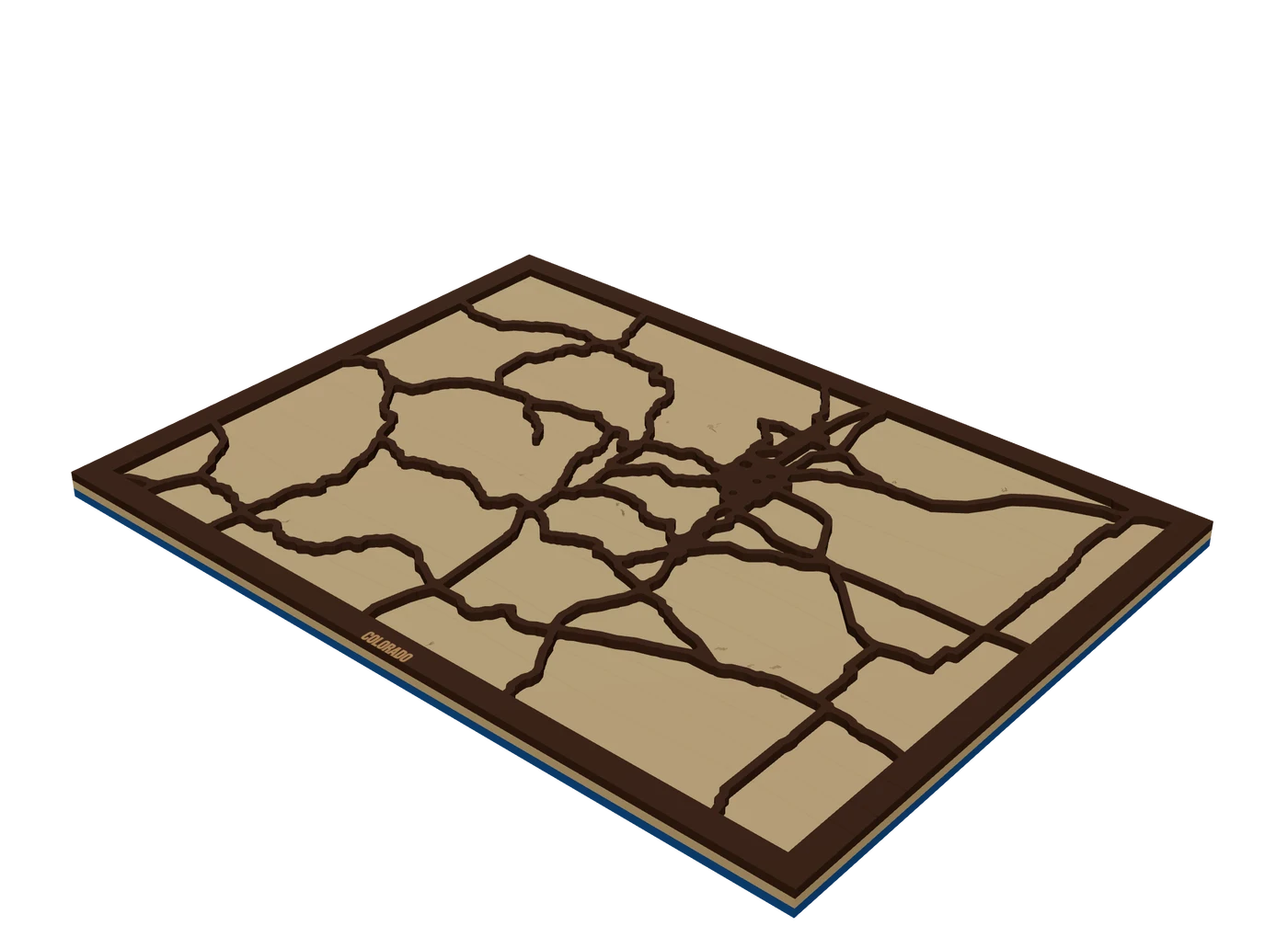 Places to mapState mapsA US state outline as the shape of the piece, with highways, lakes and a heart on the home town.
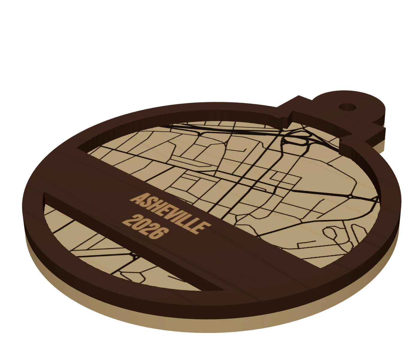 Pieces to makeMap ornamentsA 4 in layered hometown ornament with a name and a year. The map most customers buy first.
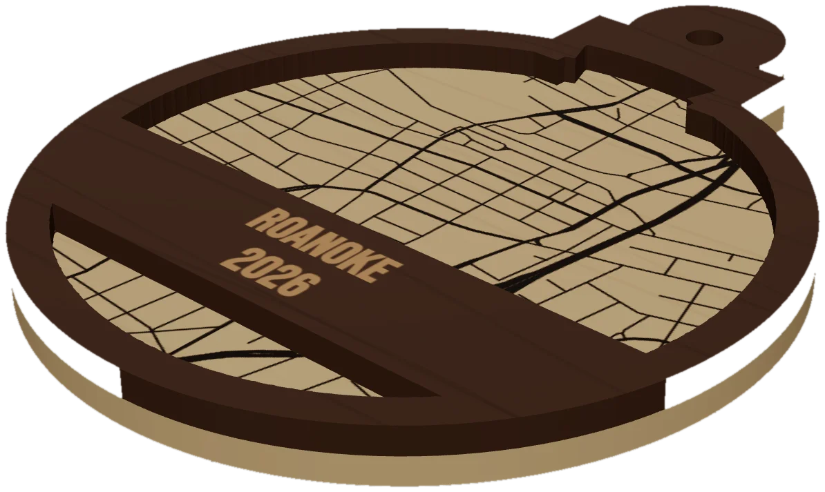 GuideWhy Map Ornaments Sell (and How to Make the Math Work)Why map ornaments sell comes down to three things: a place carries a memory, the wood costs pennies, and the season does your marketing for you. Here is the math, the calendar and the ornament ideas to sell, plus the one part of the job that quietly eats your profit.
Cut your first Wisconsin piece.
Pick Wisconsin as the frame, drop in the hometown, and see it in 3D before the laser does.
7 days free, then $12 a month. Cancel anytime. Or 10 maps for $10.
— more from MappSmith
Everything else this app gives you.
Free tools, libraries and guides — most of it works before you pay for anything.